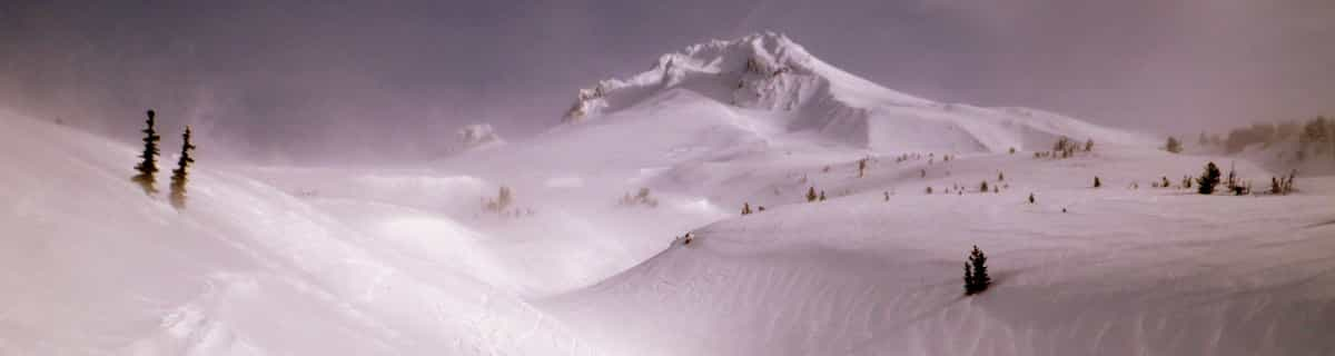


Portillo Storm Snowfall Total Passes 5m / 17 Feet
A snow storm that has now continued for nine days has taken Chilean ski resort Portillo to a snowfall total of 5.2 metres (17 feet) so far, with more snow forecast.

Next 3 days weather summary:Pioggia moderata (totale 12.0mm), più pesante Venerdì notte. Caldo (max 23°C Giovedì pomeriggio, min 15°C Venerdì notte). Vento sarà generalmente leggero. | Giorni 4-6 Unterwasser - Toggenburg sommario meteoPioggia abbondante (totale 21.0mm), più pesante durante Giovedì pomeriggio. Caldo (max 22°C Lunedì pomeriggio, min 12°C Martedì pomeriggio). Vento sarà generalmente leggero. | |||||||||||||||||
Giovedì 30 | Venerdì 31 | Sabato 1 | Domenica 2 | Lunedì 3 | Martedì 4 | |||||||||||||
AM | PM | notte | AM | PM | notte | AM | PM | notte | AM | PM | notte | AM | PM | notte | AM | PM | notte | |
limpido | limpido | limpido | limpido | rischio temporale | rovesci pioggia | rischio temporale | rischio temporale | rovesci pioggia | poche nuvole | poche nuvole | limpido | limpido | poche nuvole | pioggia moderata | rischio temporale | pioggia moderata | rovesci pioggia | |
km/h | ||||||||||||||||||
Mappa neve |  |  |  |  |  |  | ||||||||||||
— | — | — | — | — | — | — | — | — | — | — | — | — | — | — | — | — | — | |
mm | — | — | — | — | 1 | 6 | 1 | 2 | 2 | — | — | — | — | — | 6 | 2 | 8 | 5 |
max °C | 20 | 23 | 19 | 20 | 20 | 17 | 16 | 18 | 17 | 17 | 20 | 19 | 20 | 22 | 19 | 17 | 14 | 16 |
min °C | 19 | 22 | 17 | 20 | 16 | 15 | 16 | 17 | 16 | 16 | 20 | 19 | 19 | 21 | 15 | 17 | 12 | 15 |
chill °C | 19 | 22 | 17 | 20 | 15 | 14 | 16 | 17 | 16 | 16 | 20 | 19 | 19 | 21 | 15 | 17 | 11 | 15 |
Umido. % | 31 | 27 | 42 | 45 | 69 | 58 | 67 | 62 | 58 | 54 | 50 | 47 | 48 | 44 | 68 | 66 | 71 | 64 |
Zero termico m | 4450 | 4550 | 4700 | 4600 | 4300 | 4300 | 4250 | 4200 | 4400 | 4400 | 4450 | 4550 | 4500 | 4600 | 4350 | 4200 | 4200 | 4000 |
5:58 | — | — | 5:58 | — | — | 6:00 | — | — | 6:01 | — | — | 6:03 | — | — | 6:03 | — | — | |
— | — | 8:59 | — | — | 8:58 | — | — | 8:55 | — | — | 8:54 | — | — | 8:53 | — | — | 8:52 | |
Diventa pro e intaglia:
Informazioni valanghe: European Avalanche Warning Services (EAWS)
Gli ultimi report della neve vicino a Unterwasser - Toggenburg:
| La profondità maggiore della neve é: | 200 cm |
|---|---|
| La profondità minore della neve é: | — |
| Fresh snowfall depth: | — |
| Quando ha nevicato l'ultima volta? | 10 Jun 2026 |
0.0 | Giorni neve fresca Neve fresca, prevalentemente soleggiato, vento debole. |
|---|---|
0.0 | Giorni neve fresca Fresh snow, limited sun, any wind. |
0.0 | Giorni Bluebird Neve media, prevalentemente soleggiato, vento debole. |
La tabella sopra da le previsioni meteo per Unterwasser - Toggenburg a specifiche altezze 1842 m. I nostri sofisticati modelli meteo ci consentono di fornire previsioni neve per la vetta, l'area intermedia e a valle delle stazioni sciistiche di Unterwasser - Toggenburg. Per accedere alle previsioni meteo ad altre altezze, per spostarti usa tab sopra la tabella. Per una visione meteo piu' ampia , controlla la mappa meteo di Switzerland.
Clicca qui per leggere ulteriori informazioni sullo zero termico e il nostro sistema di prevedere le temperature.
Thank you Unter Wasser for 6 fantastic days in your village. The skiing was out of this world and the facilities superb! We met so many lovely local people who were so friendly and proud of the resort. We will always have a dream to return to to your special part of our planet! The Copsey Family xxxx
chris copsey da United Kingdom scrive:
Thank you Unter Wasser for 6 fantastic days in your village. The skiing was out of this world and the facilities superb! We met so many lovely local people who were so friendly and proud of the resort. We will always have a dream to return to to your special part of our planet!
The Copsey Family xxxx
Clicca qui per inviare la tua recensione di Unterwasser - Toggenburg


 Nearest