
Tettau sommario

Statistiche pendenza
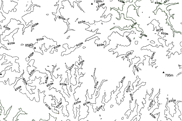
740m
150m
590m
- Acri di pista da scii:-
- Piste:-
- Innevamento:-
- Halfpipe:-
- Terrain Parks:-
- Campestre:-
- Principiante-
- Intermedio-
- Avanzato-

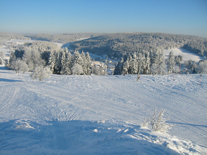
Tettau in Germany is a minor ski resort with only 150 metres (492 feet) of vertical descent. We have no information about the existence of any cross country ski trails at Tettau.
Viaggio
- Aeroporto di pertinenza:-
- Treno:-
- Website della località:www.skilifttettau.de/
- versante accom.:-
 -
- -
-
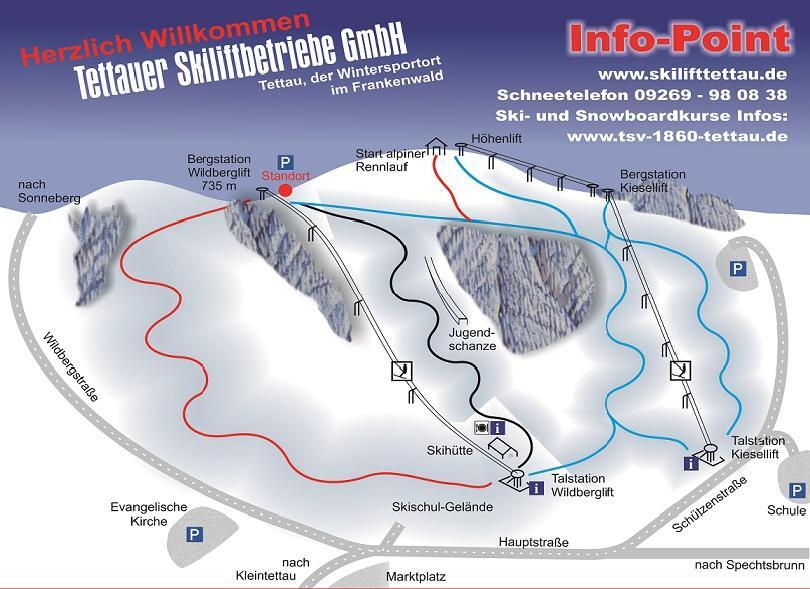
Impianti risalita
- Apertura stagione:
- Chiusura stagione:
- Lifts:-
 -
-

Ultimo bollettino nevevisualizza il bollettino neve completo
- Emesso:
- Ultima nevicata:—
- Manto Nevoso (superiore):–
- Manto Nevoso (inferiore):–
- Piste:—
- Fuori pista:—
Meteo di Oggi (665 m)Visualizza previsioni complete neve
| notte | 13 °C | F-Level 2600 m | ||
| AM | 14 °C | F-Level 2550 m | ||
| PM | 17 °C | F-Level 2550 m |
Tra le località vicine a Tettau ci sono:
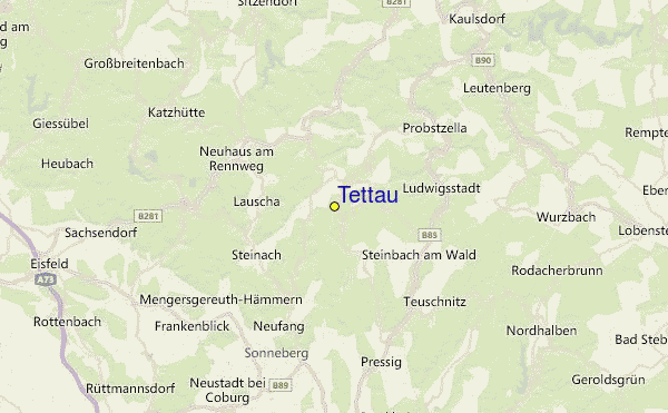
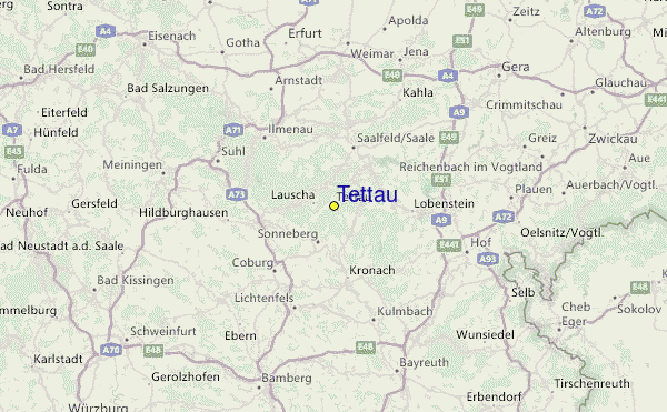
Tettau Mappe del Luogo
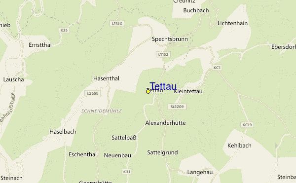
(vedi anche la nostra dettagliata mappa meteo attorno a Tettau, che vi dara' una visione d'insieme delle attuali e future condizioni neve)
Recensioni dei visitatori di Tettau
 Previsioni della città piu’ vicina per Tettau
- Saalfeld, Germany22km
- Rudolstadt, Germany28km
- Coburg, Germany32km
- Ilmenau, Germany34km
- Suhl, Germany42km
 più vicina destinazione per surf per Tettau
- Pelzerhaken, Germany413km
- Hohwachter Bucht, Germany429km
- Dazendorf, Germany435km
- Fehmarn, Germany451km
- Norderney, Germany456km
 Vette montagne
più vicine a Tettau
- Mittelberg (Thuringian Highland), Germany6km
- Apelsberg, Germany8km
- Rauhhugel, Germany8km
- Bikearena Silbersattel, Germany9km
- Hahnberg (Thuringian Highland), Germany9km
Nelle vicinanze delle località Tettau
 Nearest