
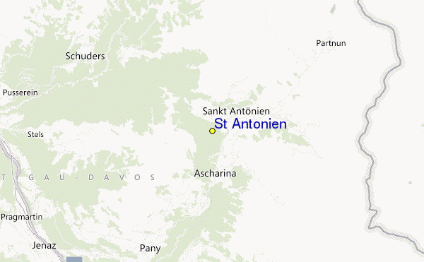
St. Antönien sommario (St. Antonien)
Statistiche pendenza
1893m
244m
1649m
- Acri di pista da scii:-
- Piste:100
- Innevamento:-
- Halfpipe:0
- Terrain Parks:0
- Campestre:40 km
- Principiante10%
- Intermedio70%
- Avanzato20%

St. Antonien (or St. Antönien) in Switzerland is a tiny ski resort with just two ski lifts with only 244 metres (800 feet) of vertical descent. St. Antonien (or St. Antönien) has 100 pistes with a total length of 3 kilometers (2 miles). St. Antonien is best suited to intermediate skiers and snowboarders but there is some terrain for beginners and advanced skiers. There are 40 kilometers (25 miles) of cross country ski trails at St. Antönien. The nearest airport is at Zurich.
Viaggio
- Aeroporto di pertinenza:Zurich
- Treno:-
- Telefono:081 332 35 00
- Website della località:www.st-antoenien.ch
- versante accom.:-
 -
- -
-
Impianti risalita
- Apertura stagione:
- Chiusura stagione:
- Lifts:2
 -
-

Ultimo bollettino nevevisualizza il bollettino neve completo
- Emesso:
- Ultima nevicata:—
- Manto Nevoso (superiore):–
- Manto Nevoso (inferiore):–
- Piste:—
- Fuori pista:—
Meteo di Oggi (1771 m)Visualizza previsioni complete neve
| AM | 11 °C | F-Level 3450 m | ||
| PM | 13 °C | F-Level 3200 m | ||
| notte | 10 °C | F-Level 2900 m |
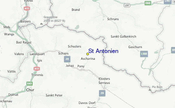
Tra le località vicine a St. Antönien (St. Antonien) ci sono:
- Fideris - Fideriser Heuberge 8km
- Gargellen 9km
- Madrisa Davos Klosters 9km
- Golm 11km
- Klosters 12km
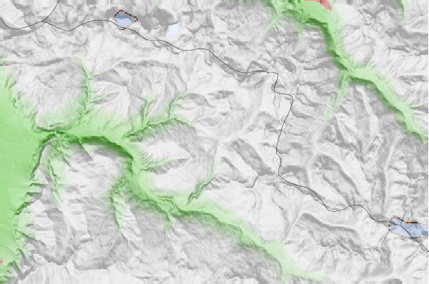
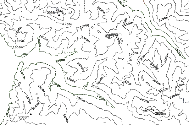
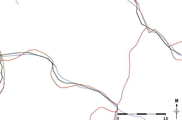
St. Antönien Mappe del Luogo
(vedi anche la nostra dettagliata mappa meteo attorno a St. Antönien, che vi dara' una visione d'insieme delle attuali e future condizioni neve)
Recensioni dei visitatori di St. Antönien
 Previsioni della città piu’ vicina per St. Antönien
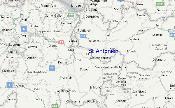
- Chur, Switzerland26km
- Feldkirch, Austria33km
- Dornbirn, Austria50km
- Bregenz, Austria60km
- Saint Gallen, Switzerland60km
 più vicina destinazione per surf per St. Antönien
- Punta Sabbioni, Italy266km
- La Diga (Sottomarina), Italy273km
- Lignano Pineta (Stephanie's), Italy293km
- Multido (Genoa), Italy293km
- Bogliasco, Italy294km
 Vette montagne
più vicine a St. Antönien
- Carschinahütte SAC, Austria5km
- Ratschenflue, Switzerland5km
- Berghaus Alpenrösli, Switzerland6km
- Drei Turme, Austria6km
- Sulzfluh, Austria6km
Nelle vicinanze delle località St. Antönien (St. Antonien)
 Nearest