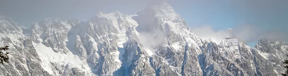


America’s Next Indoor Snow Centre Takes Shape
Construction of a new indoor snow centre for skiers, boarders and tubers appears to be making good progress at Heritage Farm in Wayne County, West Virginia.

Next 3 days weather summary:Pioggia abbondante (totale 35.0mm), più pesante durante Venerdì mattina. Caldo (max 23°C Martedì pomeriggio, min 18°C Giovedì notte). Venti decrescenti (venti freschi dalla O Mercoledì pomeriggio, calma per Giovedì notte). | Giorni 4-6 Senhata sommario meteoPioggia abbondante (totale 30.0mm), più pesante durante Domenica notte. Caldo (max 20°C Venerdì pomeriggio, min 16°C Sabato notte). Vento sarà generalmente leggero. | ||||||||||||||||
Mar 21 | Mercoledì 22 | Giovedì 23 | Venerdì 24 | Sabato 25 | Domenica 26 | ||||||||||||
PM | notte | AM | PM | notte | AM | PM | notte | AM | PM | notte | AM | PM | notte | AM | PM | notte | |
nuvol- oso | poche nuvole | pioggia leggera | pioggia leggera | pioggia leggera | rischio temporale | rovesci pioggia | pioggia moderata | pioggia moderata | pioggia leggera | pioggia leggera | nuvol- oso | pioggia leggera | pioggia moderata | pioggia leggera | nuvol- oso | pioggia moderata | |
km/h | |||||||||||||||||
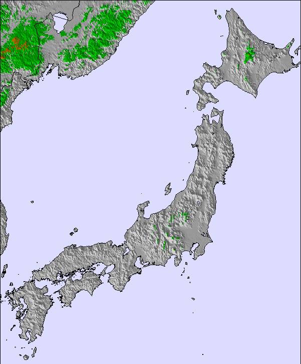
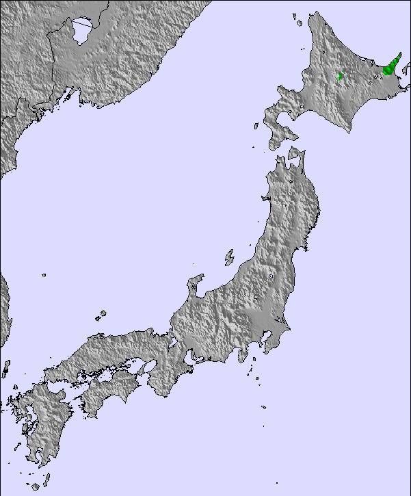
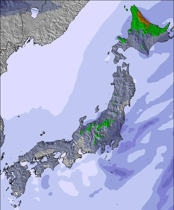
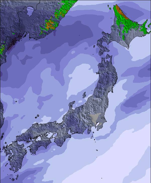
Mappa neve |  | 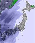 | 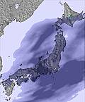 | 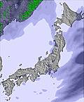 |  |  | |||||||||||
— | — | — | — | — | — | — | — | — | — | — | — | — | — | — | — | — | |
mm | — | — | 4 | 5 | 5 | 3 | 2 | 6 | 10 | 2 | 4 | — | 2 | 9 | 1 | — | 7 |
max °C | 23 | 21 | 21 | 21 | 21 | 22 | 22 | 20 | 20 | 20 | 18 | 19 | 20 | 18 | 18 | 18 | 17 |
min °C | 22 | 20 | 21 | 21 | 20 | 21 | 21 | 18 | 18 | 19 | 17 | 19 | 18 | 16 | 17 | 18 | 17 |
chill °C | 22 | 20 | 21 | 21 | 20 | 21 | 21 | 18 | 18 | 19 | 17 | 19 | 18 | 16 | 17 | 18 | 17 |
Umido. % | 76 | 96 | 93 | 95 | 96 | 88 | 83 | 93 | 95 | 89 | 98 | 85 | 84 | 96 | 91 | 86 | 95 |
Zero termico m | 5200 | 5200 | 5000 | 5050 | 5100 | 5000 | 5100 | 5000 | 4900 | 4900 | 4550 | 4550 | 4600 | 4350 | 4300 | 4450 | 4400 |
— | — | 4:26 | — | — | 4:28 | — | — | 4:28 | — | — | 4:30 | — | — | 4:30 | — | — | |
7:00 | — | — | 6:59 | — | — | 6:58 | — | — | 6:57 | — | — | 6:57 | — | — | 6:55 | — | |
Diventa pro e intaglia:
Informazioni valanghe: Japan Avalanche Network
Gli ultimi report della neve vicino a Senhata:
| La profondità maggiore della neve é: | — |
|---|---|
| La profondità minore della neve é: | — |
| Fresh snowfall depth: | — |
| Quando ha nevicato l'ultima volta? | 7 Apr 2026 |
0.0 | Giorni neve fresca Neve fresca, prevalentemente soleggiato, vento debole. |
|---|---|
0.0 | Giorni neve fresca Fresh snow, limited sun, any wind. |
0.0 | Giorni Bluebird Neve media, prevalentemente soleggiato, vento debole. |
La tabella sopra da le previsioni meteo per Senhata a specifiche altezze 810 m. I nostri sofisticati modelli meteo ci consentono di fornire previsioni neve per la vetta, l'area intermedia e a valle delle stazioni sciistiche di Senhata. Per accedere alle previsioni meteo ad altre altezze, per spostarti usa tab sopra la tabella. Per una visione meteo piu' ampia , controlla la mappa meteo di Japan.
Clicca qui per leggere ulteriori informazioni sullo zero termico e il nostro sistema di prevedere le temperature.
Senhata WAS a good spot. I had a season pass there a couple of winters. However, it's lack of attendance (which made it great for me) proved it to be one of the less profitable holdings of the Prince Hotel Group when they restructured a few years ago as the result of a corporate scandal that hit the railway company that owns Prince. Senhata has been closed for a few years now. The infrastructure is there (high speed 8-place gondola, restaurant, etc.) so I can't see it collecting rust too many more seasons before someone buys it. The management sucked. It could have turned a profit, having one of the biggest vertical drops in the region. They had a habit of paying 7 guys to stand around directing traffic in their mostly empty parking lot, and they had zero marketing. Given the fact that they had just a few trails, they could have lighted it easily for night skiing, and they made a very poor effort at putting together a terrain park. So heads up, investors: buy it, light it, put a top-notch terrain park in, and then market the hell out of it to nearby Akita City (pop. 330,000).
Sloppy da United States scrive:
Senhata WAS a good spot. I had a season pass there a couple of winters. However, it's lack of attendance (which made it great for me) proved it to be one of the less profitable holdings of the Prince Hotel Group when they restructured a few years ago as the result of a corporate scandal that hit the railway company that owns Prince. Senhata has been closed for a few years now. The infrastructure is there (high speed 8-place gondola, restaurant, etc.) so I can't see it collecting rust too many more seasons before someone buys it. The management sucked. It could have turned a profit, having one of the biggest vertical drops in the region. They had a habit of paying 7 guys to stand around directing traffic in their mostly empty parking lot, and they had zero marketing. Given the fact that they had just a few trails, they could have lighted it easily for night skiing, and they made a very poor effort at putting together a terrain park. So heads up, investors: buy it, light it, put a top-notch terrain park in, and then market the hell out of it to nearby Akita City (pop. 330,000).

 Nearest