Ultimi 6 giorniScorri a sinistra per gli ultimi 6 giorniOra
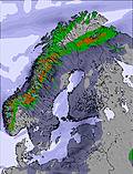
Next 4 days weather summary:
Pioggia abbondante (totale 30.0mm), più pesante durante Venerdì notte. Temperature moderate (max 12°C Venerdì pomeriggio, min 6°C Venerdì notte). Vento sarà generalmente leggero.
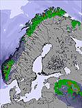
Giorni 5-7 Riksgränsen sommario meteo
Pioggia moderata (totale 19.0mm), più pesante Lunedì pomeriggio. Temperature moderate (max 12°C Lunedì pomeriggio, min 4°C Lunedì notte). Vento sarà generalmente leggero.
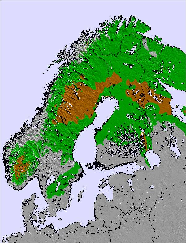
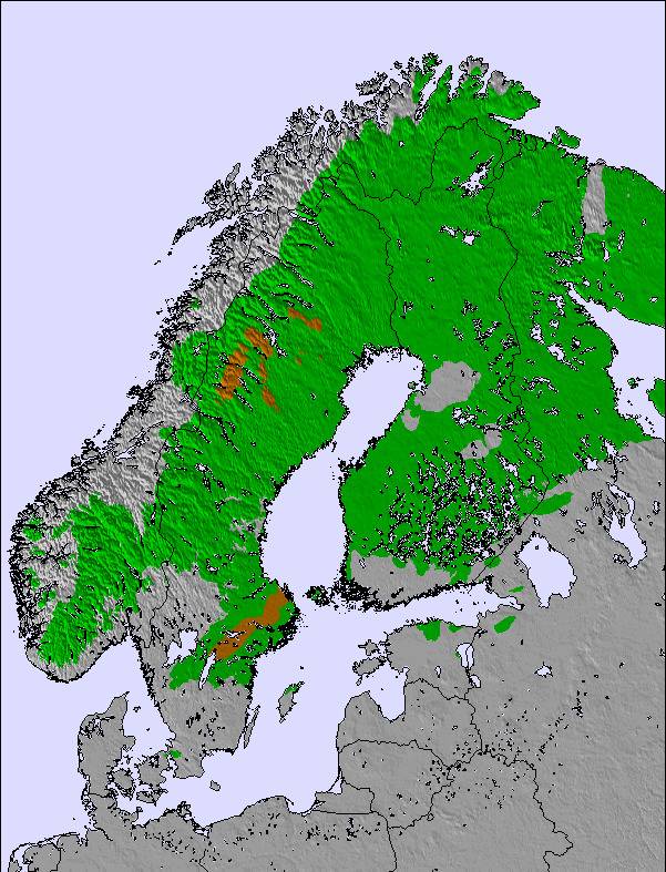
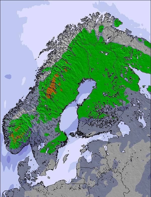
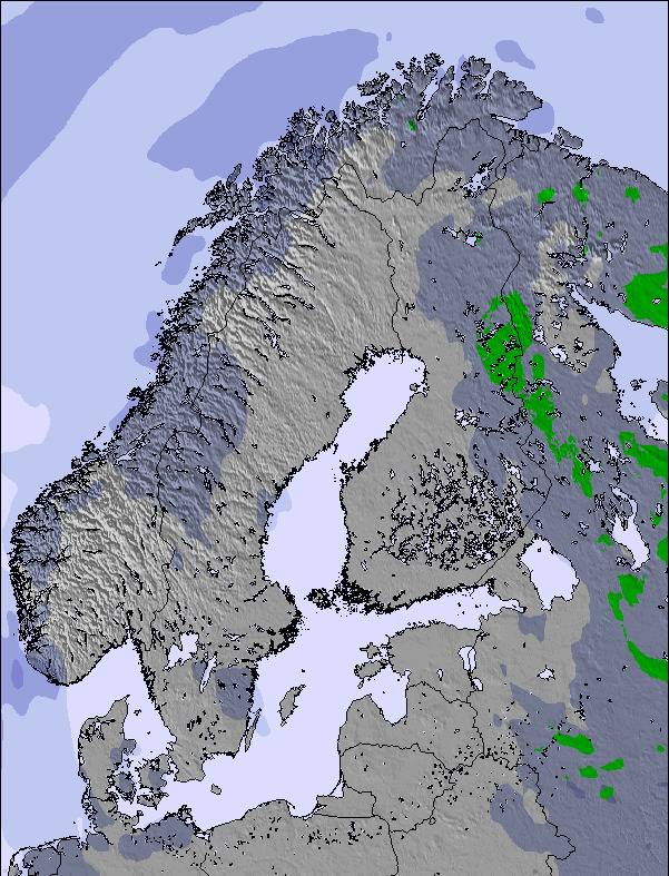
La tabella sopra da le previsioni meteo per Riksgränsen a specifiche altezze 705 m. I nostri sofisticati modelli meteo ci consentono di fornire previsioni neve per la vetta, l'area intermedia e a valle delle stazioni sciistiche di Riksgränsen. Per accedere alle previsioni meteo ad altre altezze, per spostarti usa tab sopra la tabella. Per una visione meteo piu' ampia , controlla la mappa meteo di Sweden.
Clicca qui per leggere ulteriori informazioni sullo zero termico e il nostro sistema di prevedere le temperature.
Il nome della localita' è scritto anche come Riksgransen.
Recensioni dei visitatori di Riksgränsen
Complessivamente 3.5 Basato su 12 voti e 6 recensioni
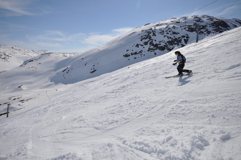
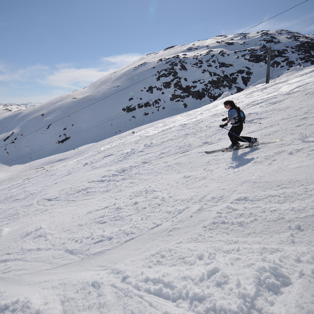
Just returned from a trip around northern Scandinavia that included 3 days skiing/boarding at Riksgransen. Conditions in mid-late April were fantastic, no queues, facilities (loos, cafes) are limited but adequate. None of the groomed runs are really steep but they are interesting (they are not straight runs, and have many camber changes) so do offer some challenges for intermediate skiers. The resort comes into its own for off-piste skiing, which is extensive and it's the off-piste that seems to draw most people there. There is heli-skiing and helicopter sight seeing tours. Riksgransen is not a town/village - there is really not a lot there apart from the skiing and one hotel/restaurant and a few cafes. For those looking for a typical family skiing holiday resort, Riksgransen is probably not it, but for keen skiers/boarders looking for some seriously good snow, a late season, and in a fantastic setting then it is worth a visit.
Complessivamente: 3.5 Basato su 12 voti e 6 recensioni
Snowsure
5.0
Varietà di piste
3.2
Fuoripista
5.0
Paesaggio
4.0
Apres-Ski
2.9
A Chinnery da United Kingdom scrive:
Just returned from a trip around northern Scandinavia that included 3 days skiing/boarding at Riksgransen. Conditions in mid-late April were fantastic, no queues, facilities (loos, cafes) are limited but adequate. None of the groomed runs are really steep but they are interesting (they are not straight runs, and have many camber changes) so do offer some challenges for intermediate skiers. The resort comes into its own for off-piste skiing, which is extensive and it's the off-piste that seems to draw most people there. There is heli-skiing and helicopter sight seeing tours. Riksgransen is not a town/village - there is really not a lot there apart from the skiing and one hotel/restaurant and a few cafes. For those looking for a typical family skiing holiday resort, Riksgransen is probably not it, but for keen skiers/boarders looking for some seriously good snow, a late season, and in a fantastic setting then it is worth a visit.
Gratis Snow-Forecast.com weather widget per il tho sito
Il Riksgränsen widget meteo qui sotto è disponibile per essere incorporato su siti Web esterni a titolo gratuito. Esso fornisce un riepilogo giornaliero delle nostre Riksgränsen previsioni meteo neve e dati meteo. Basta andare alla pagina di configurazione e seguire 3 semplici passi per prendere il codice html personalizzato ed incollarlo nel tuo sito. È possibile scegliere l'elevazione di previsione di neve (vetta, metà o piede della montagna) e l'unità metrica/imperiale per le previsioni meteo neve adeguata al proprio sito Web Clicca qui per ottenere il codice


 Nearest