

Ski Antarctica
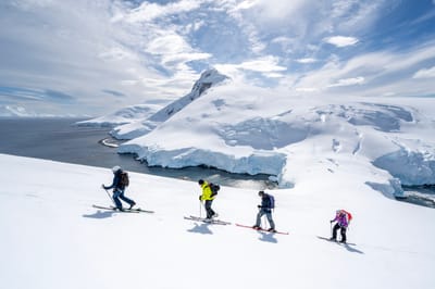
A company is offering a rare chance to go ski touring in Antarctica next month, you just need to have the funding and touring skills.

Giovedì 15 | Venerdì 16 | Sabato 17 | Domenica 18 | Lunedì 19 | ||||||||||||
notte | AM | PM | notte | AM | PM | notte | AM | PM | notte | AM | PM | notte | AM | PM | notte | |
 |  |  |  | | |  |  | |  | | | | |  | | |
forte pioggia | rovesci pioggia | neve leggera | forte nevicata | neve leggera | neve leggera | rovesci neve | limpido | limpido | limpido | limpido | limpido | limpido | limpido | poche nuvole | limpido | |
km/h | ||||||||||||||||
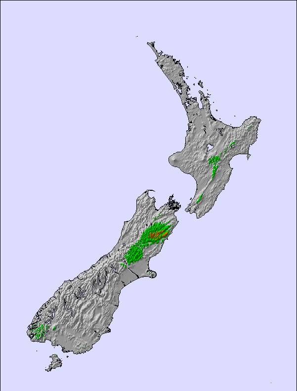
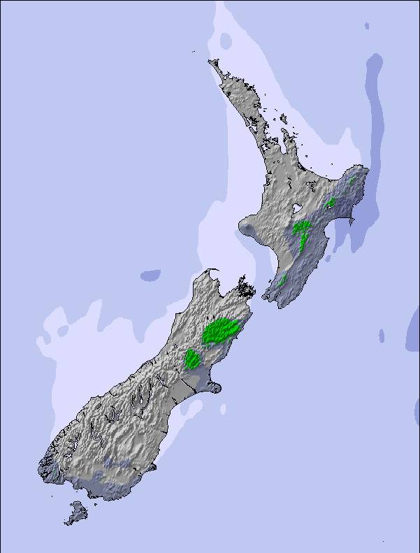
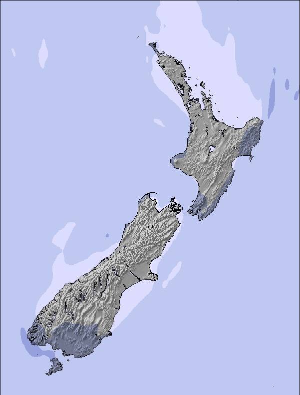
Mappa neve | 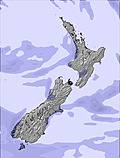 | 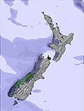 |  |  |  |  | ||||||||||
 cm cm | — | — | 3 | 12 | 3 | 2 | — | — | — | — | — | — | — | — | — | — |
mm | 13 | 2 | — | — | — | — | — | — | — | — | — | — | — | — | — | — |
max °C | 4 | 4 | 0 | -3 | -3 | -2 | -2 | 5 | 6 | 2 | 10 | 12 | 7 | 13 | 12 | 6 |
min °C | 2 | 3 | -2 | -4 | -4 | -3 | -3 | 3 | 5 | 2 | 7 | 11 | 5 | 10 | 10 | 6 |
chill °C | -1 | 1 | -8 | -10 | -11 | -8 | -7 | 2 | 5 | 1 | 7 | 11 | 5 | 10 | 10 | 5 |
Umido. % | 95 | 75 | 99 | 97 | 95 | 95 | 75 | 41 | 64 | 66 | 40 | 42 | 41 | 22 | 55 | 79 |
Zero termico m | 2050 | 1600 | 1250 | 850 | 750 | 950 | 900 | 2350 | 2400 | 2350 | 2750 | 3000 | 3100 | 2900 | 2850 | 2650 |
 | — | 6:43 | — | — | 6:41 | — | — | 6:39 | — | — | 6:37 | — | — | 6:35 | — | — |
 | — | — | 7:55 | — | — | 7:57 | — | — | 7:58 | — | — | 7:59 | — | — | 8:00 | — |
Next 4 days weather summary:Pioggia moderata (totale 15.0mm), heaviest Mercoledì notte moderata nevicata, più pesante Giovedì notte. Condizioni di gelo e disgelo (max 6°C Sabato pomeriggio, min -4°C Giovedì notte). Venti in aumento (calma Mercoledì notte, venti freschi dalla S per Giovedì notte). | Giorni 5-7 Porters sommario meteoPer lo più asciutto. Temperature moderate (max 13°C Lunedì mattina, min 2°C Sabato notte). Vento sarà generalmente leggero. | |||||||||||||||
 SnowPro
 Previsioni neve orarie e a 16 giorniVedi il meteo passatoNavigazione veloce senza pubblicitàPrevisioni passate e Storia della neve
Informazioni valanghe: New Zealand Avalanche Advisory

Gli ultimi report della neve vicino a Porters:

Recent heavy rain reported from Arthur's Pass National Park Visitor Centre at 737 metres elevation only 3 kms S of Temple Basin but it is forecast cold enough for snow at higher elevations in the ski area da Temple Basin
| La profondità maggiore della neve é: | — |
|---|---|
| La profondità minore della neve é: | — |
| Fresh snowfall depth: | — |
| Quando ha nevicato l'ultima volta? | 3 Oct 2026 |
0.1 | Giorni neve fresca Neve fresca, prevalentemente soleggiato, vento debole. |
|---|---|
0.6 | Giorni neve fresca Fresh snow, limited sun, any wind. |
0.0 | Giorni Bluebird Neve media, prevalentemente soleggiato, vento debole. |
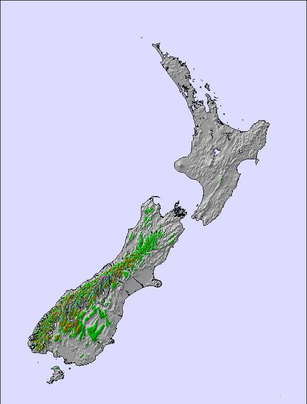
La tabella sopra da le previsioni meteo per Porters a specifiche altezze 1310 m. I nostri sofisticati modelli meteo ci consentono di fornire previsioni neve per la vetta, l'area intermedia e a valle delle stazioni sciistiche di Porters. Per accedere alle previsioni meteo ad altre altezze, per spostarti usa tab sopra la tabella. Per una visione meteo piu' ampia , controlla la mappa meteo di New Zealand.
Clicca qui per leggere ulteriori informazioni sullo zero termico e il nostro sistema di prevedere le temperature.
Complessivamente 3.5 Basato su 10 voti e 9 recensioni
Porters is the go to field for riders who want challenging terrain and excellent customer service. Mountain hosts are on the slopes most days and are more than happy to share their best runs and help first-time riders and skiers. The cafe has delicious home made hearty meals, the best baristas and don’t forget to try the steak sandwiches!! Yum!
Kim da New Zealand scrive:
Porters is the go to field for riders who want challenging terrain and excellent customer service. Mountain hosts are on the slopes most days and are more than happy to share their best runs and help first-time riders and skiers. The cafe has delicious home made hearty meals, the best baristas and don’t forget to try the steak sandwiches!! Yum!

 Iscriviti o Accedi
 Scarica una nuova foto
 Nearest