
Popocatepetl sommario
Statistiche pendenza
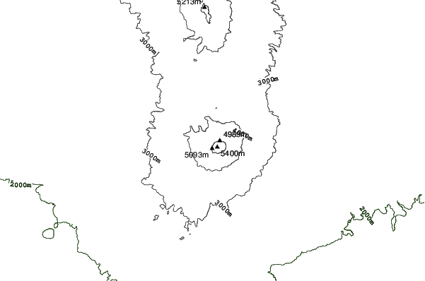
5452m
2404m
3048m
- Acri di pista da scii:-
- Piste:-
- Innevamento:-
- Halfpipe:-
- Terrain Parks:-
- Campestre:-
- Principiante-
- Intermedio-
- Avanzato-

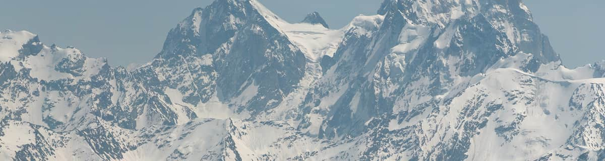
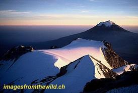
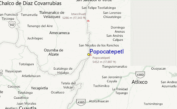
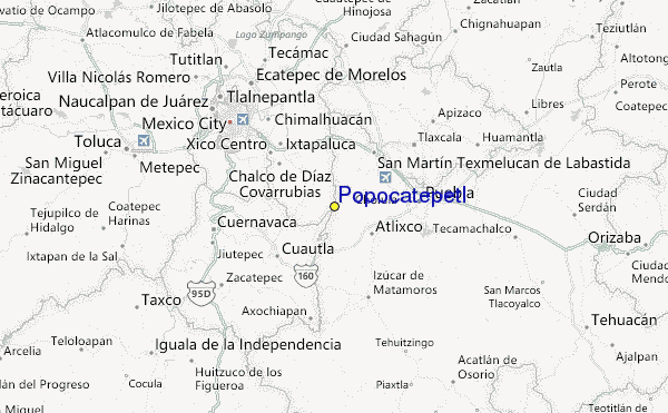
Popocatepetl is a volcano with forested slopes and a snow-capped cone and large crater. It is the second highest peak in Mexico at 17,887 feet (5452 metres) behind Pico de Orizaba at 18,405feet. The name Popocatepetl is Aztec for Smoking Mountain, and is often, conveniently, shortened to Popo. Popo and its neighboring volcano Iztaccihuatl (17,342 feet.) dominate the sky southeast of Mexico City. They are located less than fifty miles from the city, and are separated from each other by a ten mile ridge. Popo's last major eruption was in 1947, although on December 21st 1994, it awakened from dormancy, spewing gas and ash, which was carried by the wind as far as Puebla, 25 miles east. Surrounding towns were evacuated, and scientists have since been closely monitoring Popo for signs of a possible eruption. The first recorded ascent of Popocatepetl was by the Tecuanipas tribe in 1289. The first Spanish ascent of the mountain was an expedition led by Diego de Ordaz in 1519. Emperor Moctezuma sent ten warriors to climb the mountain sometime between 1502 and 1519. Only two of these warriors survived the climb.
Viaggio
- Aeroporto di pertinenza:Mexico City
- Treno:-
- versante accom.:-
 -
- -
-
Impianti risalita
- Apertura stagione:
- Chiusura stagione:
- Lifts:-
 -
-

Ultimo bollettino nevevisualizza il bollettino neve completo
- Emesso:21 Jul
- Ultima nevicata:—
- Manto Nevoso (superiore):–
- Manto Nevoso (inferiore):–
- Piste:—
- Fuori pista:—
Meteo di Oggi (4250 m)Visualizza previsioni complete neve
| PM | 6 °C | F-Level 5200 m | ||
| notte | 5 °C | F-Level 4950 m | ||
| AM | 3 °C | F-Level 4750 m |
Tra le località vicine a Popocatepetl ci sono:
- Ski Apache 1732km
- Mount Lemmon Ski Valley 1923km
- Sandia Peak 1955km
- Sunrise Park Resort 1983km
- Ski Santa Fe 1984km
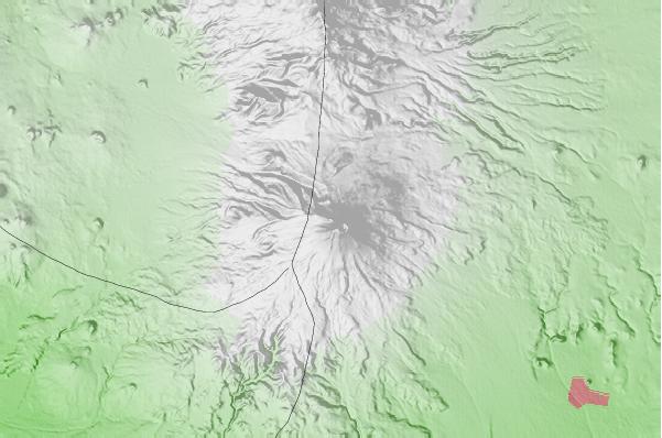
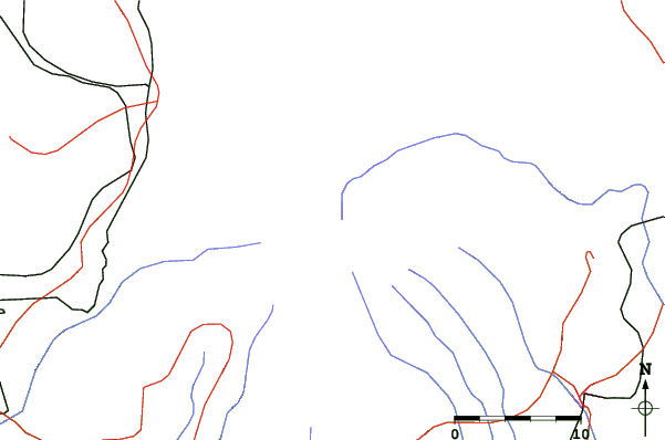
Popocatepetl Mappe del Luogo
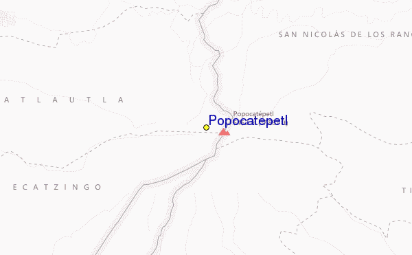
(vedi anche la nostra dettagliata mappa meteo attorno a Popocatepetl, che vi dara' una visione d'insieme delle attuali e future condizioni neve)
Recensioni dei visitatori di Popocatepetl
Taylor Ramsay da United States scrive:
I cannot seem to find any information on how to ski at Popo or where there might be lifts. I read the most recent comment here from El Pico de Orizaba and felt hopeful, but I cannot find any further information. Does anyone have any more info?
 Previsioni della città piu’ vicina per Popocatepetl
- Amecameca de Juarez, Mexico17km
- Atlixco, Mexico25km
- Cholula, Mexico35km
- San Martin Texmelucan de Labastida, Mexico35km
- Chalco de Diaz Covarrubias, Mexico38km
 più vicina destinazione per surf per Popocatepetl
- Las Animas, Mexico274km
- Dorado Dos, Mexico275km
- Cacas Point, Mexico278km
- Revolcadero, Mexico280km
- Rio Papagayo, Mexico280km
 Vette montagne
più vicine a Popocatepetl
- Popocatepetl, Mexico1km
- Iztaccihuatl, Mexico17km
- Telepon, Mexico17km
- Tlalocatepetl, Mexico17km
- Tenayo Group, Mexico25km
Nelle vicinanze delle località Popocatepetl
 Nearest