Ultimi 6 giorniScorri a sinistra per gli ultimi 6 giorniOra
Next 4 days weather summary:
Pioggia leggera (totale 7.0mm), per lo più che cade Mercoledì notte. Temperature moderate (max 19°C Mercoledì pomeriggio, min 13°C Mercoledì notte). Vento sarà generalmente leggero.
Giorni 5-7 Pelvoux-La Vallouise sommario meteo
Pioggia leggera (totale 4.0mm), per lo più che cade Venerdì notte. Temperature moderate (max 17°C Domenica pomeriggio, min 10°C Domenica notte). Vento sarà generalmente leggero.
La tabella sopra da le previsioni meteo per Pelvoux-La Vallouise a specifiche altezze 2301 m. I nostri sofisticati modelli meteo ci consentono di fornire previsioni neve per la vetta, l'area intermedia e a valle delle stazioni sciistiche di Pelvoux-La Vallouise. Per accedere alle previsioni meteo ad altre altezze, per spostarti usa tab sopra la tabella. Per una visione meteo piu' ampia , controlla la mappa meteo di France.
Clicca qui per leggere ulteriori informazioni sullo zero termico e il nostro sistema di prevedere le temperature.
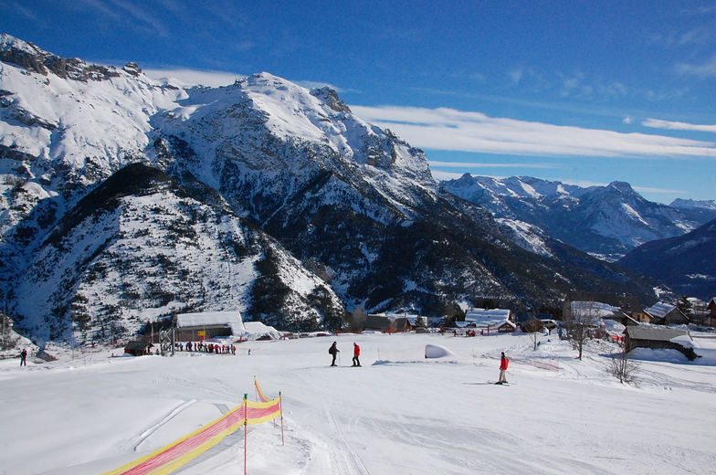
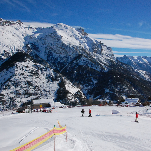
Recensioni dei visitatori di Pelvoux-La Vallouise
Complessivamente 4.2 Basato su 11 voti e 1 recensione
A little known resort, not far from the larger Serre Chervalier, but with pistes that are well looked after and are enough to keep a family occupied for one weeks beginner/intermediate skiing - fantastic off-piste and ski-touring. There is a second resort 10 minutes away - Puy St Vincent, which is excellent for all levels of skier(see the reviews already written) should you need more variety. The prices are lower than the big resorts and it is much more aimed at families than party animals. If you want to know more ask Alpbase.com they have a great set up renting chalets and apartments (I stayed with them in 2006/7) and will look after you very well. The valley is worth visiting in summer as well!
Complessivamente: 4.2 Basato su 11 voti e 1 recensione
Snowsure
2.9
Varietà di piste
3.3
Fuoripista
5.0
Paesaggio
5.0
Apres-Ski
2.8
Chris Trevallion da France scrive:
A little known resort, not far from the larger Serre Chervalier, but with pistes that are well looked after and are enough to keep a family occupied for one weeks beginner/intermediate skiing - fantastic off-piste and ski-touring. There is a second resort 10 minutes away - Puy St Vincent, which is excellent for all levels of skier(see the reviews already written) should you need more variety. The prices are lower than the big resorts and it is much more aimed at families than party animals. If you want to know more ask Alpbase.com they have a great set up renting chalets and apartments (I stayed with them in 2006/7) and will look after you very well. The valley is worth visiting in summer as well!
Gratis Snow-Forecast.com weather widget per il tho sito
Il Pelvoux-La Vallouise widget meteo qui sotto è disponibile per essere incorporato su siti Web esterni a titolo gratuito. Esso fornisce un riepilogo giornaliero delle nostre Pelvoux-La Vallouise previsioni meteo neve e dati meteo. Basta andare alla pagina di configurazione e seguire 3 semplici passi per prendere il codice html personalizzato ed incollarlo nel tuo sito. È possibile scegliere l'elevazione di previsione di neve (vetta, metà o piede della montagna) e l'unità metrica/imperiale per le previsioni meteo neve adeguata al proprio sito Web Clicca qui per ottenere il codice


 Nearest