

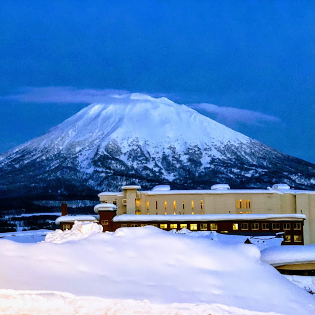
Niseko Announce New Gondola
Niseko Village has confirmed a major lift expansion that will reshape access on the southern side of the Niseko United ski area, with a new gondola scheduled to open next winter and a second stage planned for 2027–28.

Next 4 days weather summary:Pioggia leggera (totale 5.0mm), per lo più che cade Sabato pomeriggio. Temperature moderate (max 16°C Venerdì notte, min 13°C Sabato notte). Vento sarà generalmente leggero. | Giorni 5-7 Niseko Grand Hirafu sommario meteoPioggia abbondante (totale 25.0mm), più pesante durante Giovedì mattina. Temperature moderate (max 17°C Giovedì pomeriggio, min 12°C Lunedì notte). Venti in aumento (calma Lunedì notte, venti freschi da OSO per Giovedì mattina). | |||||||||||||||
Sabato 25 | Domenica 26 | Lunedì 27 | Martedì 28 | Mercoledì 29 | ||||||||||||
notte | AM | PM | notte | AM | PM | notte | AM | PM | notte | AM | PM | notte | AM | PM | notte | |
poche nuvole | poche nuvole | rovesci pioggia | pioggia leggera | pioggia leggera | pioggia leggera | nuvol- oso | limpido | limpido | poche nuvole | rovesci pioggia | limpido | poche nuvole | rovesci pioggia | pioggia leggera | pioggia leggera | |
km/h | ||||||||||||||||
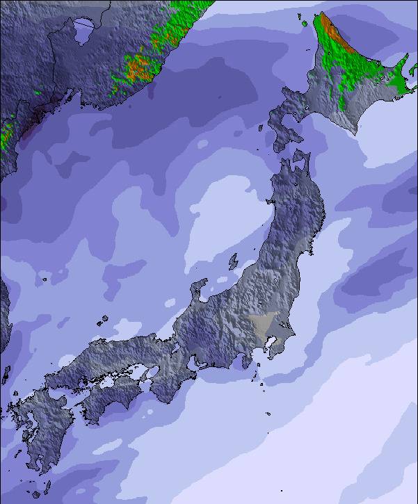
Mappa neve |  |  |  |  |  |  | ||||||||||
— | — | — | — | — | — | — | — | — | — | — | — | — | — | — | — | |
mm | — | — | 1 | 1 | 1 | 2 | — | — | — | — | 1 | — | — | 1 | 2 | 3 |
max °C | 16 | 15 | 14 | 13 | 14 | 14 | 14 | 14 | 14 | 13 | 14 | 15 | 14 | 15 | 15 | 14 |
min °C | 15 | 15 | 14 | 13 | 14 | 14 | 13 | 14 | 14 | 12 | 14 | 15 | 13 | 15 | 15 | 13 |
chill °C | 15 | 15 | 14 | 13 | 14 | 14 | 13 | 13 | 14 | 11 | 14 | 15 | 12 | 15 | 15 | 11 |
Umido. % | 81 | 84 | 94 | 94 | 87 | 95 | 85 | 83 | 93 | 96 | 86 | 87 | 79 | 91 | 89 | 91 |
Zero termico m | 4300 | 4200 | 4300 | 4350 | 4300 | 4300 | 4250 | 4300 | 4350 | 4350 | 4300 | 4300 | 4400 | 4400 | 4550 | 4500 |
— | 4:20 | — | — | 4:20 | — | — | 4:22 | — | — | 4:22 | — | — | 4:24 | — | — | |
— | — | 7:06 | — | — | 7:05 | — | — | 7:04 | — | — | 7:02 | — | — | 7:01 | — | |
Diventa pro e intaglia:
Informazioni valanghe: Japan Avalanche Network
Gli ultimi report della neve vicino a Niseko Grand Hirafu:
| La profondità maggiore della neve é: | 0 cm |
|---|---|
| La profondità minore della neve é: | 0 cm |
| Fresh snowfall depth: | — |
| Quando ha nevicato l'ultima volta? | 4 May 2026 |
0.0 | Giorni neve fresca Neve fresca, prevalentemente soleggiato, vento debole. |
|---|---|
0.0 | Giorni neve fresca Fresh snow, limited sun, any wind. |
0.0 | Giorni Bluebird Neve media, prevalentemente soleggiato, vento debole. |
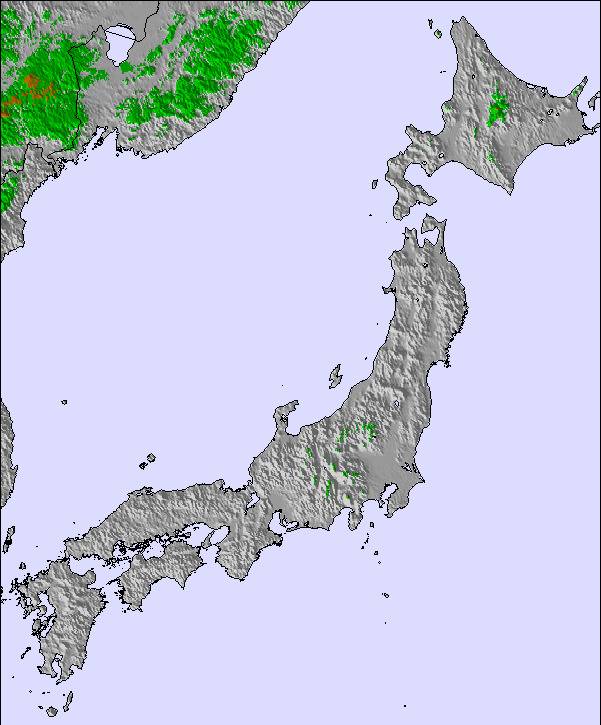
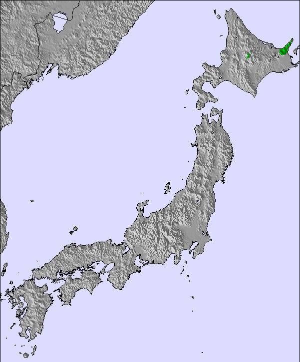
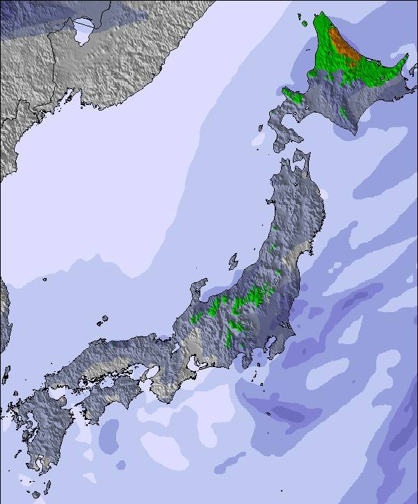
La tabella sopra da le previsioni meteo per Niseko Grand Hirafu a specifiche altezze 1156 m. I nostri sofisticati modelli meteo ci consentono di fornire previsioni neve per la vetta, l'area intermedia e a valle delle stazioni sciistiche di Niseko Grand Hirafu. Per accedere alle previsioni meteo ad altre altezze, per spostarti usa tab sopra la tabella. Per una visione meteo piu' ampia , controlla la mappa meteo di Japan.
Clicca qui per leggere ulteriori informazioni sullo zero termico e il nostro sistema di prevedere le temperature.
Il nome della localita' è scritto anche come Niseko Hirafu.
Complessivamente 3.9 Basato su 81 voti e 120 recensioni
Niseko Feb 19 2024. Poor snow conditions with rain. Long queues for every thing. This Powder Paradise is a myth.
Mark da Japan scrive:
Niseko Feb 19 2024. Poor snow conditions with rain. Long queues for every thing. This Powder Paradise is a myth.
Leggi 119 più recensioni di Niseko Grand Hirafu o invia la tua

 Nearest