

America’s Next Indoor Snow Centre Takes Shape
Construction of a new indoor snow centre for skiers, boarders and tubers appears to be making good progress at Heritage Farm in Wayne County, West Virginia.

Next 3 days weather summary:Per lo più asciutto. Condizioni di gelo e disgelo (max 1°C Lunedì pomeriggio, min -2°C Lunedì notte). Venti in aumento (calma Mercoledì mattina, venti freschi da NW per Giovedì mattina). | Giorni 4-6 Mount Cheeseman sommario meteoUna pesante caduta di neve, più pesante durante Venerdì notte. Condizioni di gelo e disgelo (max 1°C Giovedì pomeriggio, min -8°C Venerdì notte). Venti decrescenti (venti freschi da NW Venerdì mattina, calma per Sabato mattina). | ||||||||||||||||
Lun 20 | Martedì 21 | Mercoledì 22 | Giovedì 23 | Venerdì 24 | Sabato 25 | ||||||||||||
PM | notte | AM | PM | notte | AM | PM | notte | AM | PM | notte | AM | PM | notte | AM | PM | notte | |
limpido | poche nuvole | nuvol- oso | poche nuvole | poche nuvole | poche nuvole | rovesci neve | nuvol- oso | neve leggera | neve leggera | rovesci neve | rovesci neve | rovesci neve | rovesci neve | rovesci neve | rovesci neve | forte nevicata | |
km/h | |||||||||||||||||
Mappa neve |  |  |  |  |  |  | |||||||||||
— | — | — | — | — | — | — | — | — | — | 11 | 6 | 6 | 12 | — | — | 11 | |
mm | — | — | — | — | — | — | — | — | — | — | — | — | — | — | — | — | — |
max °C | 1 | -1 | 1 | 1 | -1 | 1 | 1 | 0 | 0 | 1 | 0 | 1 | -2 | -4 | -5 | -4 | -5 |
min °C | -1 | -2 | -1 | 0 | -1 | 0 | 0 | -1 | 0 | 0 | -1 | -1 | -3 | -8 | -8 | -5 | -6 |
chill °C | -4 | -6 | -5 | -3 | -4 | 0 | -3 | -5 | -6 | -7 | -8 | -8 | -10 | -13 | -11 | -14 | -14 |
Umido. % | 71 | 45 | 42 | 56 | 52 | 82 | 94 | 76 | 73 | 77 | 95 | 78 | 80 | 95 | 61 | 76 | 93 |
Zero termico m | 1700 | 1800 | 1800 | 1950 | 1950 | 1800 | 1750 | 1700 | 1900 | 1950 | 1800 | 1900 | 1450 | 1150 | 200 | 950 | 750 |
— | — | 7:56 | — | — | 7:56 | — | — | 7:54 | — | — | 7:54 | — | — | 7:52 | — | — | |
5:21 | — | — | 5:22 | — | — | 5:22 | — | — | 5:23 | — | — | 5:24 | — | — | 5:25 | — | |
Diventa pro e intaglia:
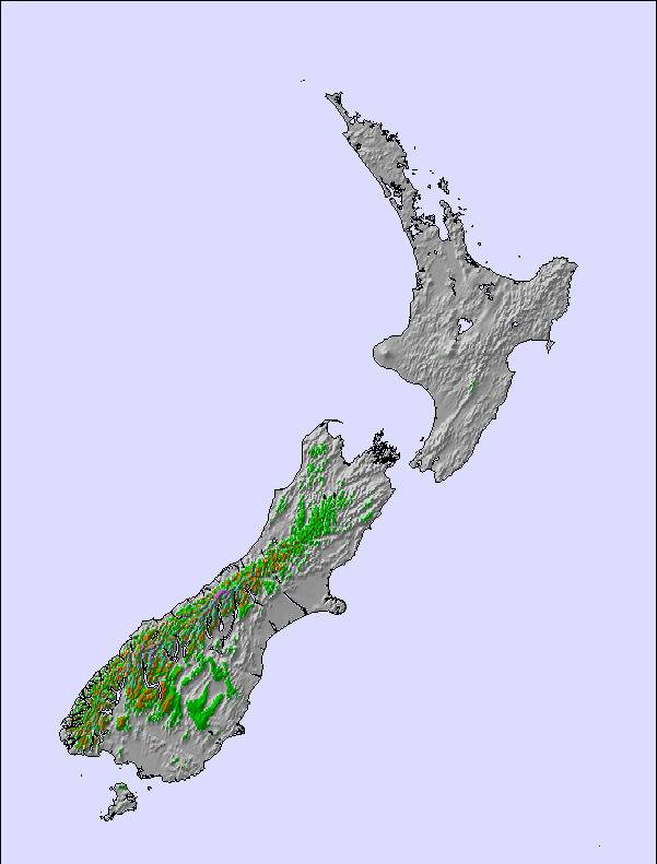
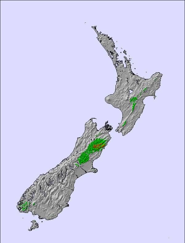
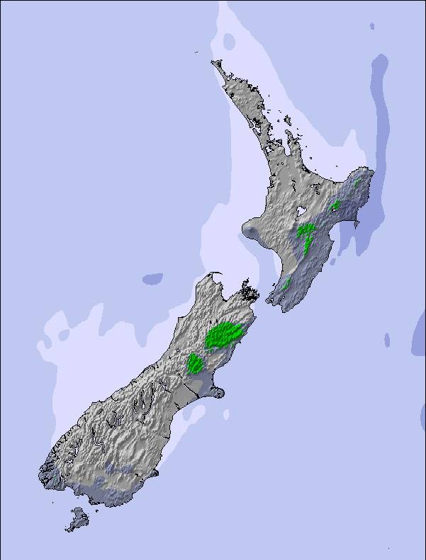
Informazioni valanghe: New Zealand Avalanche Advisory
Gli ultimi report della neve vicino a Mount Cheeseman:
| La profondità maggiore della neve é: | — |
|---|---|
| La profondità minore della neve é: | — |
| Fresh snowfall depth: | — |
| Quando ha nevicato l'ultima volta? | 15 Jul 2026 |
0.4 | Giorni neve fresca Neve fresca, prevalentemente soleggiato, vento debole. |
|---|---|
1.0 | Giorni neve fresca Fresh snow, limited sun, any wind. |
1.5 | Giorni Bluebird Neve media, prevalentemente soleggiato, vento debole. |
La tabella sopra da le previsioni meteo per Mount Cheeseman a specifiche altezze 1634 m. I nostri sofisticati modelli meteo ci consentono di fornire previsioni neve per la vetta, l'area intermedia e a valle delle stazioni sciistiche di Mount Cheeseman. Per accedere alle previsioni meteo ad altre altezze, per spostarti usa tab sopra la tabella. Per una visione meteo piu' ampia , controlla la mappa meteo di New Zealand.
Clicca qui per leggere ulteriori informazioni sullo zero termico e il nostro sistema di prevedere le temperature.
Complessivamente 3.8 Basato su 11 voti e 9 recensioni
My brothers and I skied at Mt Cheeseman in August 2011 and I cannot speak highly enough of the mountain, it's facilities and the wonderful staff and members. We stayed on mountain and it is so good to get up in the morning and walk 15 metres to the T-bar to get skiing for the day. The field has a good variety of terrain for people of all abilities and even better, no crowds. After skiing in Australia and paying top dollar for crappy conditions, crowded slopes and rude people, Mt Cheeseman is heaven. The value for money is second to none and I have skied in Canada, U.S as well as other mountains in NZ. Most importantly, we were made to feel like family there. Within a couple of hours, we knew everyone there by name and had our meals together, swapping stories, having a laugh and an awesome time. I tell every Aussie who loves to ski uncrowded, challenging terrain, stay on the mountain and do it for under half the price of Australian slopes.... Go Cheesman!!!
Taylor H da Australia scrive:
My brothers and I skied at Mt Cheeseman in August 2011 and I cannot speak highly enough of the mountain, it's facilities and the wonderful staff and members. We stayed on mountain and it is so good to get up in the morning and walk 15 metres to the T-bar to get skiing for the day. The field has a good variety of terrain for people of all abilities and even better, no crowds. After skiing in Australia and paying top dollar for crappy conditions, crowded slopes and rude people, Mt Cheeseman is heaven. The value for money is second to none and I have skied in Canada, U.S as well as other mountains in NZ. Most importantly, we were made to feel like family there. Within a couple of hours, we knew everyone there by name and had our meals together, swapping stories, having a laugh and an awesome time.
I tell every Aussie who loves to ski uncrowded, challenging terrain, stay on the mountain and do it for under half the price of Australian slopes.... Go Cheesman!!!

 Nearest