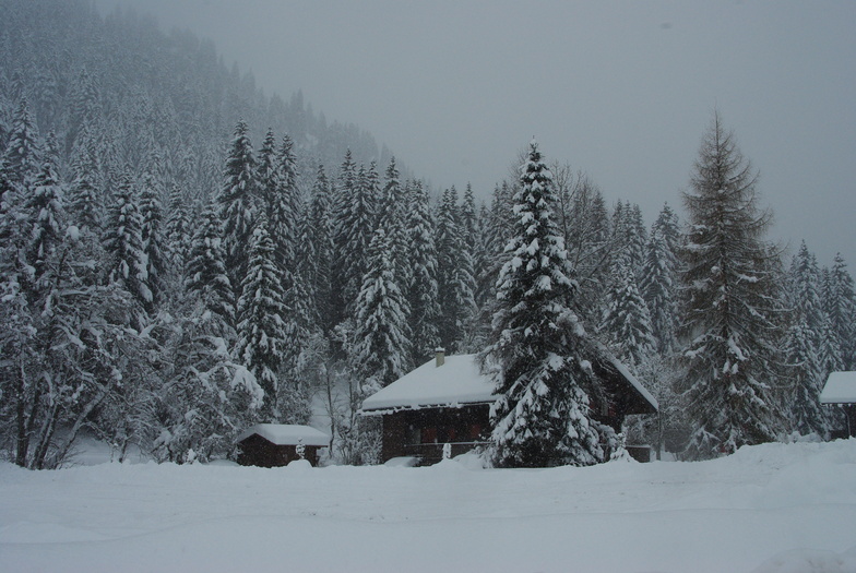
Previsione meteo per Morgins - Les Portes du Soleil a2154m altitudine
Emesso: 1 pm 02 Aug 2026 (ora locale)
Previsione neve aggiornata in ora min
View forecast
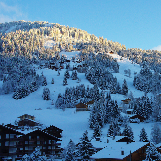
Morgins - Les Portes du Soleilat 2154 m altitudine
Publicato da Snow-Forecast.com a:1 pm (ora locale) / 02 Aug 2026
Ultimi 6 giorniScorri a sinistra per gli ultimi 6 giorniOra
Next 3 days weather summary:
Pioggia abbondante (totale 36.0mm), più pesante durante Lunedì notte. Temperature moderate (max 19°C Domenica pomeriggio, min 12°C Martedì pomeriggio). Vento sarà generalmente leggero.
Giorni 4-6 Morgins - Les Portes du Soleil sommario meteo
Pioggia moderata (totale 19.0mm), più pesante Giovedì pomeriggio. Temperature moderate (max 18°C Mercoledì pomeriggio, min 11°C Giovedì notte). Vento sarà generalmente leggero.
La tabella sopra da le previsioni meteo per Morgins - Les Portes du Soleil a specifiche altezze 2154 m. I nostri sofisticati modelli meteo ci consentono di fornire previsioni neve per la vetta, l'area intermedia e a valle delle stazioni sciistiche di Morgins - Les Portes du Soleil. Per accedere alle previsioni meteo ad altre altezze, per spostarti usa tab sopra la tabella. Per una visione meteo piu' ampia , controlla la mappa meteo di Switzerland.
Clicca qui per leggere ulteriori informazioni sullo zero termico e il nostro sistema di prevedere le temperature.
Recensioni dei visitatori di Morgins - Les Portes du Soleil
Complessivamente 4.0 Basato su 3 voti e 5 recensioni
I have been skiing in Morgins (Morgins - Les Portes du Soleil) for years and it's a great place for skiing. Situated inbetween the ski runs of Chatel (FR) and the ski runs of Champoussin (CH), so each day there are new runs to discover. Perfect resort for beginners as the blue runs can be found at the top of the Foilleuse lift so beginners have the opportunity to see the Dents des Midi mountain range. The piste "La Combe" is a lovely wide piste good for beginners and intermediates. Swiss exchange rate does make things a little expensive but a meal in the Cafe des Sports is a must! With new ski lifts on the plans, Morgins is the place to go. A perfect resort for all!!
Recensioni dei visitatori di Morgins - Les Portes du Soleil
Complessivamente: 4.0 Basato su 3 voti e 5 recensioni
Snowsure
4.0
Varietà di piste
4.3
Fuoripista
4.3
Paesaggio
4.3
Apres-Ski
3.7
Lee Bellion da United Kingdom scrive:
I have been skiing in Morgins (Morgins - Les Portes du Soleil) for years and it's a great place for skiing. Situated inbetween the ski runs of Chatel (FR) and the ski runs of Champoussin (CH), so each day there are new runs to discover. Perfect resort for beginners as the blue runs can be found at the top of the Foilleuse lift so beginners have the opportunity to see the Dents des Midi mountain range. The piste "La Combe" is a lovely wide piste good for beginners and intermediates. Swiss exchange rate does make things a little expensive but a meal in the Cafe des Sports is a must! With new ski lifts on the plans, Morgins is the place to go. A perfect resort for all!!
Gratis Snow-Forecast.com weather widget per il tho sito
Il Morgins - Les Portes du Soleil widget meteo qui sotto è disponibile per essere incorporato su siti Web esterni a titolo gratuito. Esso fornisce un riepilogo giornaliero delle nostre Morgins - Les Portes du Soleil previsioni meteo neve e dati meteo. Basta andare alla pagina di configurazione e seguire 3 semplici passi per prendere il codice html personalizzato ed incollarlo nel tuo sito. È possibile scegliere l'elevazione di previsione di neve (vetta, metà o piede della montagna) e l'unità metrica/imperiale per le previsioni meteo neve adeguata al proprio sito Web Clicca qui per ottenere il codice


 Nearest