

America’s Next Indoor Snow Centre Takes Shape
Construction of a new indoor snow centre for skiers, boarders and tubers appears to be making good progress at Heritage Farm in Wayne County, West Virginia.

Next 3 days weather summary:Pioggia moderata (totale 14.0mm), più pesante Martedì notte. Caldo (max 22°C Martedì mattina, min 9°C Mercoledì notte). Venti decrescenti (venti freschi dalla S Martedì pomeriggio, venti deboli da OSO per Giovedì notte). | Giorni 4-6 Mont Sutton sommario meteoPer lo più asciutto. Caldo (max 25°C Sabato pomeriggio, min 13°C Venerdì notte). Vento sarà generalmente leggero. | |||||||||||||||||
Martedì 21 | Mercoledì 22 | Giovedì 23 | Venerdì 24 | Sabato 25 | Domenica 26 | |||||||||||||
AM | PM | notte | AM | PM | notte | AM | PM | notte | AM | PM | notte | AM | PM | notte | AM | PM | notte | |
poche nuvole | rischio temporale | rovesci pioggia | pioggia leggera | pioggia leggera | poche nuvole | poche nuvole | limpido | poche nuvole | limpido | poche nuvole | poche nuvole | limpido | limpido | poche nuvole | poche nuvole | poche nuvole | limpido | |
km/h | ||||||||||||||||||
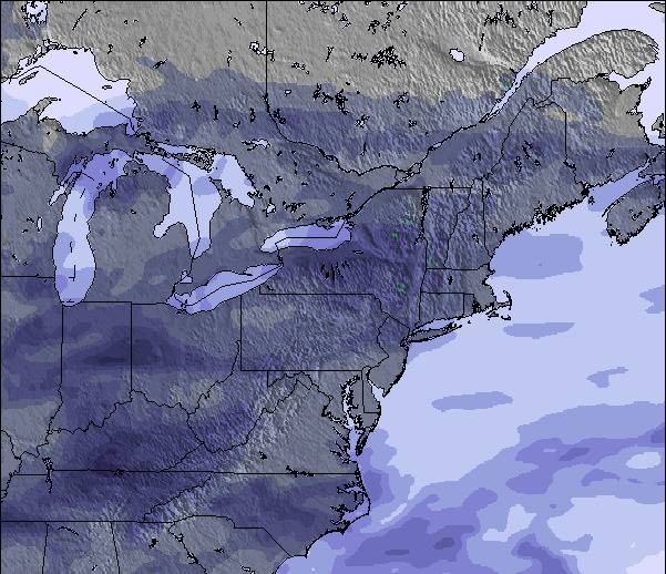
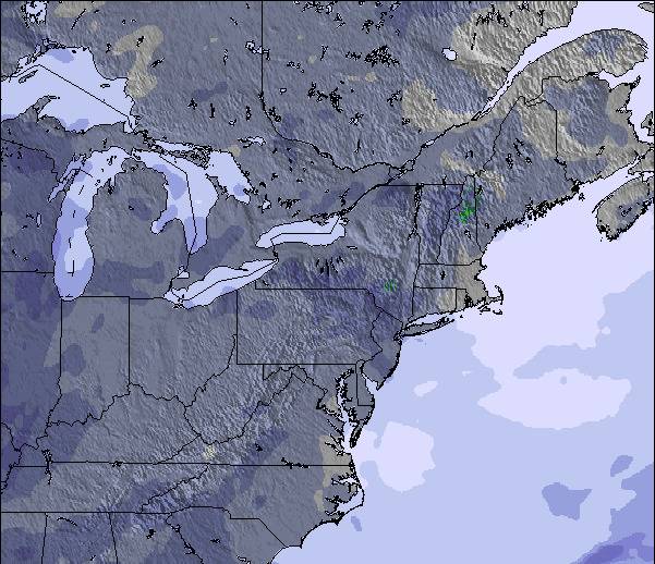
Mappa neve |  |  |  |  |  |  | ||||||||||||
— | — | — | — | — | — | — | — | — | — | — | — | — | — | — | — | — | — | |
mm | — | 2 | 8 | 3 | 1 | — | — | — | — | — | — | — | — | — | — | — | — | — |
max °C | 22 | 21 | 17 | 16 | 14 | 12 | 15 | 18 | 15 | 20 | 22 | 17 | 23 | 25 | 19 | 22 | 24 | 19 |
min °C | 17 | 19 | 15 | 15 | 14 | 9 | 10 | 18 | 13 | 17 | 22 | 13 | 18 | 24 | 15 | 18 | 23 | 16 |
chill °C | 16 | 18 | 14 | 13 | 12 | 6 | 7 | 17 | 13 | 17 | 22 | 13 | 18 | 24 | 15 | 18 | 23 | 16 |
Umido. % | 60 | 84 | 92 | 95 | 73 | 84 | 61 | 51 | 64 | 50 | 49 | 71 | 48 | 46 | 73 | 54 | 53 | 70 |
Zero termico m | 4000 | 3800 | 3850 | 3550 | 3400 | 3300 | 2450 | 3000 | 2850 | 3250 | 3400 | 3100 | 3700 | 3650 | 3400 | 3600 | 3650 | 3700 |
5:22 | — | — | 5:22 | — | — | 5:24 | — | — | 5:24 | — | — | 5:26 | — | — | 5:28 | — | — | |
— | — | 8:29 | — | — | 8:28 | — | — | 8:27 | — | — | 8:25 | — | — | 8:24 | — | — | 8:23 | |
Diventa pro e intaglia:
Informazioni valanghe: Avalanche Canada
Gli ultimi report della neve vicino a Mont Sutton:
| La profondità maggiore della neve é: | — |
|---|---|
| La profondità minore della neve é: | — |
| Fresh snowfall depth: | — |
| Quando ha nevicato l'ultima volta? | 7 May 2026 |
0.0 | Giorni neve fresca Neve fresca, prevalentemente soleggiato, vento debole. |
|---|---|
0.0 | Giorni neve fresca Fresh snow, limited sun, any wind. |
0.0 | Giorni Bluebird Neve media, prevalentemente soleggiato, vento debole. |
La tabella sopra da le previsioni meteo per Mont Sutton a specifiche altezze 511 m. I nostri sofisticati modelli meteo ci consentono di fornire previsioni neve per la vetta, l'area intermedia e a valle delle stazioni sciistiche di Mont Sutton. Per accedere alle previsioni meteo ad altre altezze, per spostarti usa tab sopra la tabella. Per una visione meteo piu' ampia , controlla la mappa meteo di Canada.
Clicca qui per leggere ulteriori informazioni sullo zero termico e il nostro sistema di prevedere le temperature.
Complessivamente 3.8 Basato su 17 voti e 4 recensioni
Je vous encourage fortement a y aller. cette année, il est tomber plus de 400 cm à la base de la montagne, de neige au 25 Février 2010. Il vient de neiger 125 cm de neige à la base, et il tombe généralement 60 cm par semaine!:D
Olivier da Canada scrive:
Je vous encourage fortement a y aller. cette année, il est tomber plus de 400 cm à la base de la montagne, de neige au 25 Février 2010. Il vient de neiger 125 cm de neige à la base, et il tombe généralement 60 cm par semaine!:D

 Nearest