
North America Weekly Snow Roundup #321
Weekly Snow News for North America, updated 2 July 2026: Beartooth Basin summer ski area ends 2026 season with fresh snow falling and Banff's Sunshine celebrates Canada Day on the slopes.

Next 3 days weather summary:Per lo più asciutto. Caldo (max 21°C Lunedì mattina, min 5°C Lunedì notte). Vento sarà generalmente leggero. | Giorni 4-6 Loveland sommario meteoPer lo più asciutto. Caldo (max 23°C Venerdì pomeriggio, min 9°C Giovedì notte). Vento sarà generalmente leggero. | |||||||||||||||||
Lunedì 3 | Martedì 4 | Mercoledì 5 | Giovedì 6 | Venerdì 7 | Sabato 8 | |||||||||||||
AM | PM | notte | AM | PM | notte | AM | PM | notte | AM | PM | notte | AM | PM | notte | AM | PM | notte | |
poche nuvole | poche nuvole | limpido | poche nuvole | nuvol- oso | poche nuvole | limpido | poche nuvole | limpido | limpido | poche nuvole | limpido | limpido | poche nuvole | poche nuvole | poche nuvole | nuvol- oso | poche nuvole | |
km/h | ||||||||||||||||||
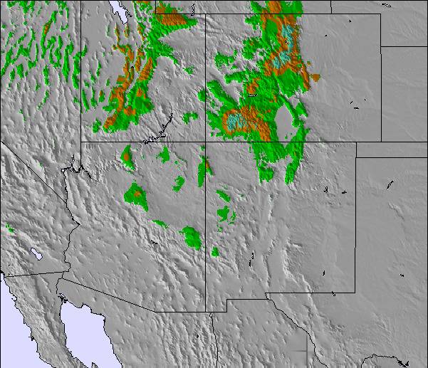
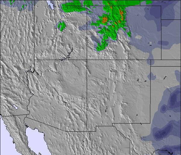
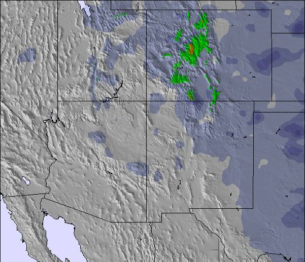
Mappa neve |  |  |  |  |  |  | ||||||||||||
— | — | — | — | — | — | — | — | — | — | — | — | — | — | — | — | — | — | |
mm | — | — | — | — | — | — | — | — | — | — | — | — | — | — | — | — | — | — |
max °C | 21 | 21 | 12 | 20 | 21 | 11 | 18 | 20 | 10 | 19 | 22 | 12 | 22 | 23 | 13 | 23 | 23 | 12 |
min °C | 19 | 20 | 5 | 15 | 19 | 6 | 14 | 19 | 7 | 16 | 20 | 9 | 18 | 22 | 10 | 20 | 20 | 10 |
chill °C | 19 | 20 | 4 | 15 | 19 | 5 | 13 | 19 | 7 | 16 | 20 | 9 | 18 | 22 | 10 | 20 | 20 | 10 |
Umido. % | 22 | 24 | 58 | 36 | 16 | 74 | 15 | 8 | 17 | 12 | 10 | 18 | 14 | 9 | 27 | 15 | 11 | 35 |
Zero termico m | 5500 | 5600 | 4750 | 5250 | 5500 | 4750 | 5200 | 5500 | 4850 | 5300 | 5500 | 5000 | 5450 | 5650 | 5100 | 5450 | 5700 | 5150 |
6:03 | — | — | 6:05 | — | — | 6:05 | — | — | 6:05 | — | — | 6:07 | — | — | 6:07 | — | — | |
— | 8:14 | — | — | 8:13 | — | — | 8:12 | — | — | 8:10 | — | — | 8:09 | — | — | 8:08 | — | |
Diventa pro e intaglia:
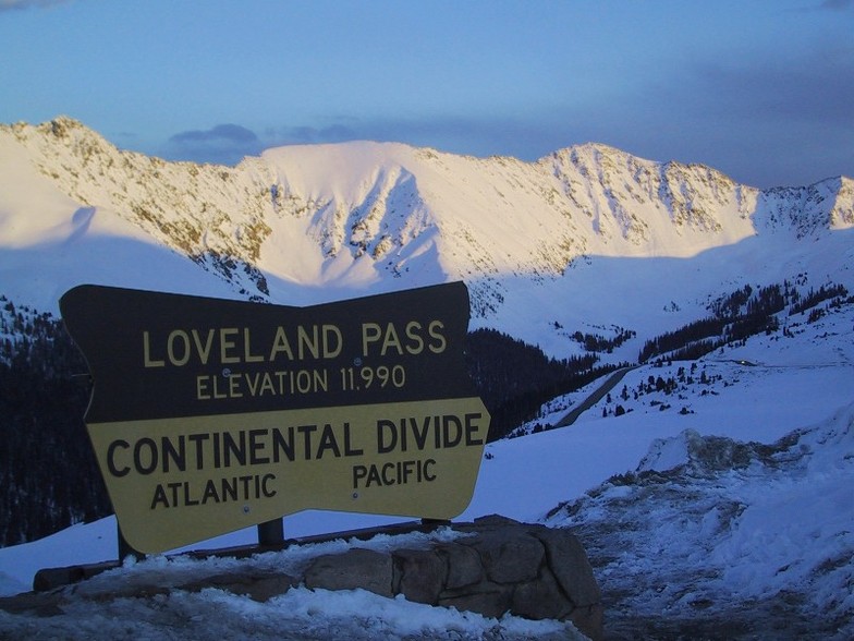
Informazioni valanghe: Colorado Avalanche Information Center
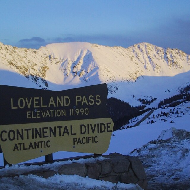
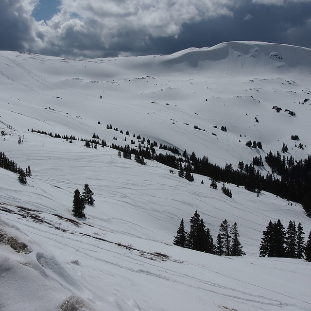
Gli ultimi report della neve vicino a Loveland:
| La profondità maggiore della neve é: | 0 cm |
|---|---|
| La profondità minore della neve é: | 0 cm |
| Fresh snowfall depth: | — |
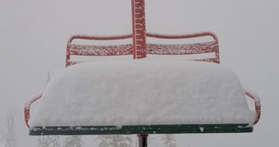
| Quando ha nevicato l'ultima volta? | 22 May 2026 |
0.0 | Giorni neve fresca Neve fresca, prevalentemente soleggiato, vento debole. |
|---|---|
0.0 | Giorni neve fresca Fresh snow, limited sun, any wind. |
0.0 | Giorni Bluebird Neve media, prevalentemente soleggiato, vento debole. |

La tabella sopra da le previsioni meteo per Loveland a specifiche altezze 3231 m. I nostri sofisticati modelli meteo ci consentono di fornire previsioni neve per la vetta, l'area intermedia e a valle delle stazioni sciistiche di Loveland. Per accedere alle previsioni meteo ad altre altezze, per spostarti usa tab sopra la tabella. Per una visione meteo piu' ampia , controlla la mappa meteo di United States.
Clicca qui per leggere ulteriori informazioni sullo zero termico e il nostro sistema di prevedere le temperature.
Complessivamente 3.5 Basato su 12 voti.

 Nearest