La tabella sopra da le previsioni meteo per Les Marécottes - Salvan a specifiche altezze 1916 m. I nostri sofisticati modelli meteo ci consentono di fornire previsioni neve per la vetta, l'area intermedia e a valle delle stazioni sciistiche di Les Marécottes - Salvan. Per accedere alle previsioni meteo ad altre altezze, per spostarti usa tab sopra la tabella. Per una visione meteo piu' ampia , controlla la mappa meteo di Switzerland.
Clicca qui per leggere ulteriori informazioni sullo zero termico e il nostro sistema di prevedere le temperature.
Il nome della localita' è scritto anche come Les Marecottes - Salvan.
Recensioni dei visitatori di Les Marécottes - Salvan
Complessivamente 3.7 Basato su 1 vote e 2 recensioni
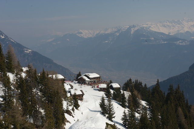
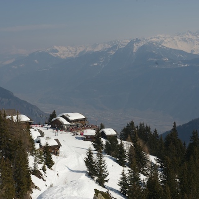
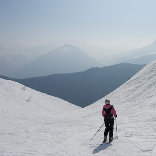
Les Marecottes is small but perfectly formed! We love the quiet slopes and the friendly atmosphere, the village is tranquil and untouched by commercialism. Our children love to take ski lessons with the fabulous instructors from the ski school and this means we can relax for a while knowing they are being well looked after! On a sunny day there is nothing better than heading for the summit and stopping for a glass of wine or a hot chocolate, then skiing to the restaurant for a tasty lunch and at the end of the day relax on the terrace at the "Clare de Lune" .
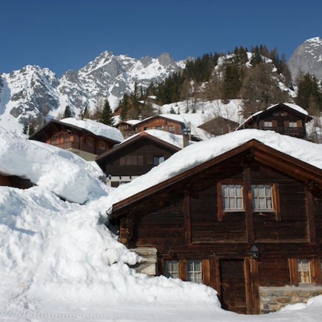
Just over an hour from Geneva, with beautiful scenery all the way. The journey passes quickly and before you realise it you are on the snakey road to Salvan and then past the zoo and you are there!
Make sure you try to get a taste of a local cheese from Emaney; it's delicious!
Recensioni dei visitatori di Les Marécottes - Salvan
Complessivamente: 3.7 Basato su 1 vote e 2 recensioni
Snowsure
5.0
Varietà di piste
5.0
Fuoripista
4.0
Paesaggio
5.0
Apres-Ski
3.0
H CUMMING da United Kingdom scrive:
Les Marecottes is small but perfectly formed! We love the quiet slopes and the friendly atmosphere, the village is tranquil and untouched by commercialism. Our children love to take ski lessons with the fabulous instructors from the ski school and this means we can relax for a while knowing they are being well looked after! On a sunny day there is nothing better than heading for the summit and stopping for a glass of wine or a hot chocolate, then skiing to the restaurant for a tasty lunch and at the end of the day relax on the terrace at the "Clare de Lune" .
Just over an hour from Geneva, with beautiful scenery all the way. The journey passes quickly and before you realise it you are on the snakey road to Salvan and then past the zoo and you are there!
Make sure you try to get a taste of a local cheese from Emaney; it's delicious!
Gratis Snow-Forecast.com weather widget per il tho sito
Il Les Marécottes - Salvan widget meteo qui sotto è disponibile per essere incorporato su siti Web esterni a titolo gratuito. Esso fornisce un riepilogo giornaliero delle nostre Les Marécottes - Salvan previsioni meteo neve e dati meteo. Basta andare alla pagina di configurazione e seguire 3 semplici passi per prendere il codice html personalizzato ed incollarlo nel tuo sito. È possibile scegliere l'elevazione di previsione di neve (vetta, metà o piede della montagna) e l'unità metrica/imperiale per le previsioni meteo neve adeguata al proprio sito Web Clicca qui per ottenere il codice


 Nearest