Publicato da Snow-Forecast.com a:1 am (ora locale) / 01 Aug 2026
Ultimi 6 giorniScorri a sinistra per gli ultimi 6 giorniOra
Next 3 days weather summary:
Pioggia leggera (totale 7.0mm), per lo più che cade Sabato pomeriggio. Temperature moderate (max 12°C Lunedì pomeriggio, min 8°C Sabato mattina). Vento sarà generalmente leggero.
Giorni 4-6 Les Diablerets sommario meteo
Pioggia moderata (totale 18.0mm), più pesante Martedì notte. Temperature moderate (max 11°C Martedì mattina, min 9°C Martedì notte). Vento sarà generalmente leggero.
La tabella sopra da le previsioni meteo per Les Diablerets a specifiche altezze 3000 m. I nostri sofisticati modelli meteo ci consentono di fornire previsioni neve per la vetta, l'area intermedia e a valle delle stazioni sciistiche di Les Diablerets. Per accedere alle previsioni meteo ad altre altezze, per spostarti usa tab sopra la tabella. Per una visione meteo piu' ampia , controlla la mappa meteo di Switzerland.
Clicca qui per leggere ulteriori informazioni sullo zero termico e il nostro sistema di prevedere le temperature.
Recensioni dei visitatori di Les Diablerets
Complessivamente 4.3 Basato su 22 voti e 11 recensioni
The piste map is not up-to-date anymore. The Isenau section is out of order, so Diablerets-Villars-Gryon is not ski-linked anymore with Glacier 3000. The link between Diablerets and Villars-Gryon is via a skilift in both directions. I only went skiing there, did not stay on the mountain. I parked in Gryon. First day in the center, where you can take a bus or just walk for 5 min to the lift; you have a piste 'til there. Second day at the lift itself. Gryon is 1 nice mountain, Villars has a snow guaranteed high plateau and a nice village run. Diablerets is mainly between the trees, the nicest (red valley) run starts at the middle-station. The ski route of Villars was not open when I was there, so not so demanding.
Complessivamente: 4.3 Basato su 22 voti e 11 recensioni
Snowsure
3.9
Varietà di piste
4.0
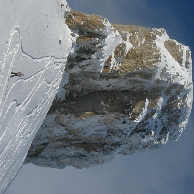
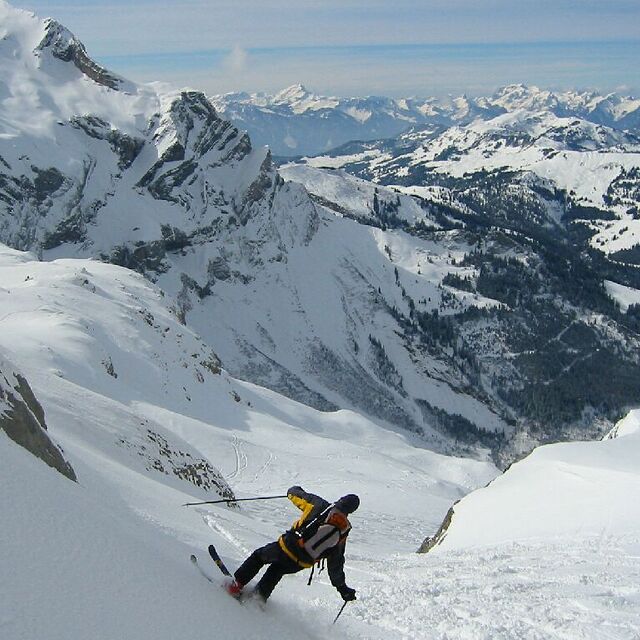
Fuoripista
4.3
Paesaggio
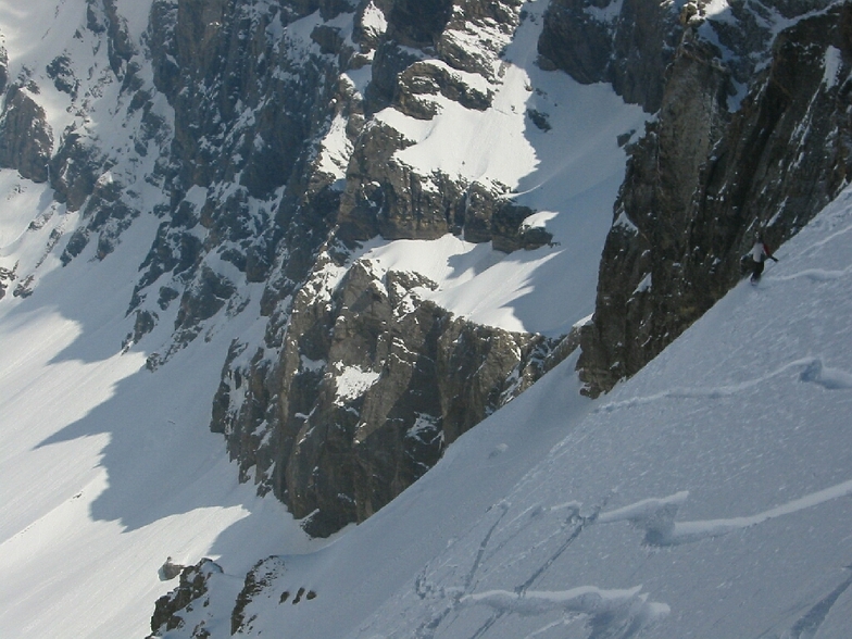
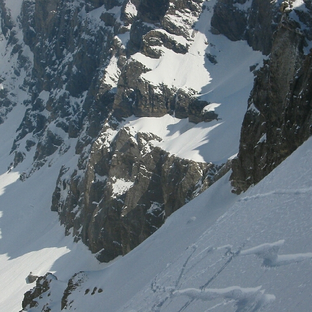
4.9
Apres-Ski
3.4
bwjr74 da Belgium scrive:
The piste map is not up-to-date anymore. The Isenau section is out of order, so Diablerets-Villars-Gryon is not ski-linked anymore with Glacier 3000. The link between Diablerets and Villars-Gryon is via a skilift in both directions. I only went skiing there, did not stay on the mountain. I parked in Gryon. First day in the center, where you can take a bus or just walk for 5 min to the lift; you have a piste 'til there. Second day at the lift itself. Gryon is 1 nice mountain, Villars has a snow guaranteed high plateau and a nice village run. Diablerets is mainly between the trees, the nicest (red valley) run starts at the middle-station. The ski route of Villars was not open when I was there, so not so demanding.
Gratis Snow-Forecast.com weather widget per il tho sito
Il Les Diablerets widget meteo qui sotto è disponibile per essere incorporato su siti Web esterni a titolo gratuito. Esso fornisce un riepilogo giornaliero delle nostre Les Diablerets previsioni meteo neve e dati meteo. Basta andare alla pagina di configurazione e seguire 3 semplici passi per prendere il codice html personalizzato ed incollarlo nel tuo sito. È possibile scegliere l'elevazione di previsione di neve (vetta, metà o piede della montagna) e l'unità metrica/imperiale per le previsioni meteo neve adeguata al proprio sito Web Clicca qui per ottenere il codice


 Nearest