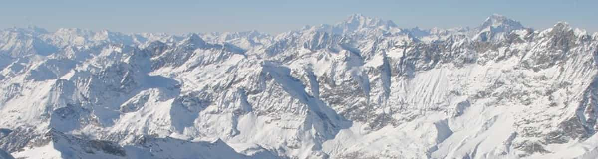


Portillo Storm Snowfall Total Passes 5m / 17 Feet
A snow storm that has now continued for nine days has taken Chilean ski resort Portillo to a snowfall total of 5.2 metres (17 feet) so far, with more snow forecast.

Next 4 days weather summary:Per lo più asciutto. Caldo (max 26°C Mercoledì pomeriggio, min 12°C Lunedì mattina). Vento sarà generalmente leggero. | Giorni 5-7 Savoie Grand Revard sommario meteoQualche pioggerella, più pesante durante Venerdì notte. Caldo (max 29°C Giovedì pomeriggio, min 22°C Venerdì notte). Vento sarà generalmente leggero. | |||||||||||||||
Lunedì 27 | Martedì 28 | Mercoledì 29 | Giovedì 30 | Venerdì 31 | ||||||||||||
notte | AM | PM | notte | AM | PM | notte | AM | PM | notte | AM | PM | notte | AM | PM | notte | |
poche nuvole | poche nuvole | limpido | limpido | limpido | limpido | limpido | limpido | limpido | limpido | limpido | limpido | poche nuvole | limpido | limpido | rovesci pioggia | |
km/h | ||||||||||||||||
Mappa neve |  |  |  |  |  |  | ||||||||||
— | — | — | — | — | — | — | — | — | — | — | — | — | — | — | — | |
mm | — | — | — | — | — | — | — | — | — | — | — | — | — | — | — | 1 |
max °C | 16 | 13 | 18 | 18 | 18 | 22 | 22 | 21 | 26 | 25 | 25 | 29 | 27 | 25 | 27 | 27 |
min °C | 13 | 12 | 15 | 16 | 16 | 20 | 21 | 21 | 24 | 24 | 24 | 27 | 25 | 25 | 26 | 22 |
chill °C | 13 | 12 | 15 | 16 | 16 | 20 | 21 | 21 | 24 | 24 | 24 | 27 | 25 | 25 | 26 | 22 |
Umido. % | 73 | 92 | 58 | 64 | 54 | 51 | 55 | 51 | 28 | 29 | 22 | 21 | 35 | 32 | 29 | 44 |
Zero termico m | 3450 | 4400 | 4650 | 4900 | 4750 | 4750 | 4550 | 4500 | 4600 | 4750 | 4750 | 4800 | 4800 | 4800 | 4850 | 4800 |
— | 6:11 | — | — | 6:13 | — | — | 6:15 | — | — | 6:16 | — | — | 6:16 | — | — | |
— | — | — | 9:10 | — | — | 9:09 | — | — | 9:08 | — | — | 9:07 | — | — | 9:06 | |
Diventa pro e intaglia:
Informazioni valanghe: European Avalanche Warning Services (EAWS)
Gli ultimi report della neve vicino a Savoie Grand Revard:
| La profondità maggiore della neve é: | — |
|---|---|
| La profondità minore della neve é: | — |
| Fresh snowfall depth: | — |
| Quando ha nevicato l'ultima volta? | 16 May 2026 |
0.0 | Giorni neve fresca Neve fresca, prevalentemente soleggiato, vento debole. |
|---|---|
0.0 | Giorni neve fresca Fresh snow, limited sun, any wind. |
0.0 | Giorni Bluebird Neve media, prevalentemente soleggiato, vento debole. |
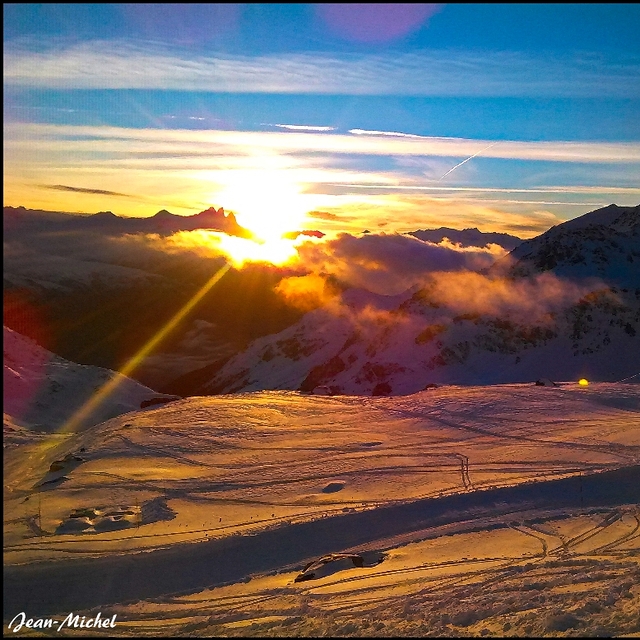
La tabella sopra da le previsioni meteo per Savoie Grand Revard a specifiche altezze 1422 m. I nostri sofisticati modelli meteo ci consentono di fornire previsioni neve per la vetta, l'area intermedia e a valle delle stazioni sciistiche di Savoie Grand Revard. Per accedere alle previsioni meteo ad altre altezze, per spostarti usa tab sopra la tabella. Per una visione meteo piu' ampia , controlla la mappa meteo di France.
Clicca qui per leggere ulteriori informazioni sullo zero termico e il nostro sistema di prevedere le temperature.
Il nome della localita' è scritto anche come Savoie Grande Revard.
Complessivamente 4.3 Basato su 1 vote e 1 recensione
Me gustaria saber las pistas que tiene, los km esquiables, los colores de las pistas y cuantas hay de cada color y los km de ellas para viajar a la estacion del 1 al 7 de enero. Gracias
Jose Baron da Spain scrive:
Me gustaria saber las pistas que tiene, los km esquiables, los colores de las pistas y cuantas hay de cada color y los km de ellas para viajar a la estacion del 1 al 7 de enero.
Gracias
Clicca qui per inviare la tua recensione di Savoie Grand Revard


 Nearest