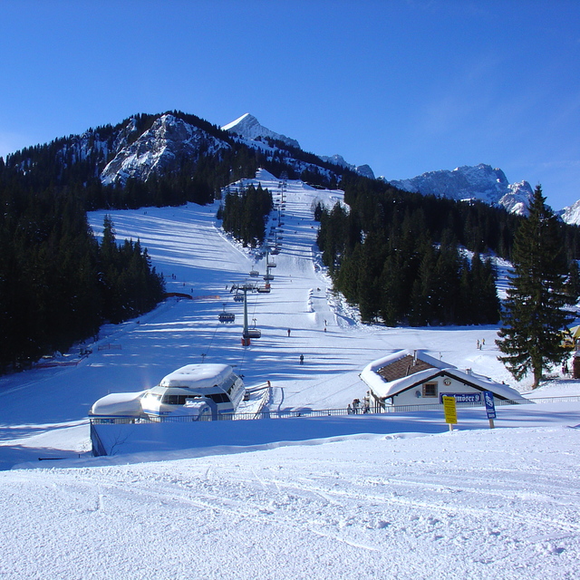
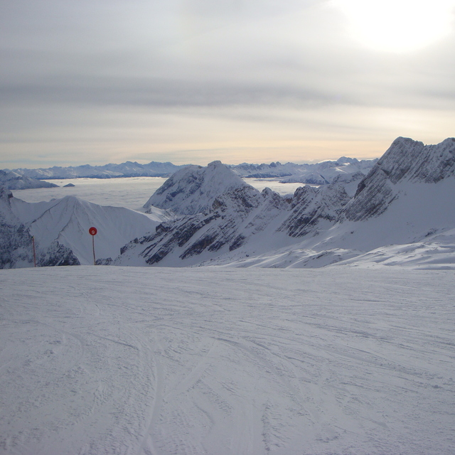
Garmisch-Partenkirchen-Zugspitzeat 2155 m altitudine
Publicato da Snow-Forecast.com a:1 pm (ora locale) / 02 Aug 2026
Ultimi 6 giorniScorri a sinistra per gli ultimi 6 giorniOra
Next 3 days weather summary:
Pioggia abbondante (totale 28.0mm), più pesante durante Giovedì pomeriggio. Temperature moderate (max 19°C Lunedì pomeriggio, min 12°C Martedì pomeriggio). Vento sarà generalmente leggero.
Giorni 4-6 Garmisch-Partenkirchen-Zugspitze sommario meteo
Pioggia abbondante (totale 84.0mm), più pesante durante Giovedì notte. Temperature moderate (max 18°C Mercoledì pomeriggio, min 10°C Giovedì notte). Vento sarà generalmente leggero.
La tabella sopra da le previsioni meteo per Garmisch-Partenkirchen-Zugspitze a specifiche altezze 2155 m. I nostri sofisticati modelli meteo ci consentono di fornire previsioni neve per la vetta, l'area intermedia e a valle delle stazioni sciistiche di Garmisch-Partenkirchen-Zugspitze. Per accedere alle previsioni meteo ad altre altezze, per spostarti usa tab sopra la tabella. Per una visione meteo piu' ampia , controlla la mappa meteo di Germany.
Clicca qui per leggere ulteriori informazioni sullo zero termico e il nostro sistema di prevedere le temperature.
Recensioni dei visitatori di Garmisch-Partenkirchen-Zugspitze
Complessivamente 4.1 Basato su 15 voti e 10 recensioni
Skied here in the February school holidays; have never skied in Germany before but heard some good reviews. I found this place a charming skiing resort; very beautiful place. We stayed in the Hotel Vier Jahreszeiten which was centrally based and opposite the train station. You could access Hausberg lifts by either train or bus but as I was skiing with the family we caught a taxi each day which was 10 Euros each. I assume, as it was school holidays, the lift queues were longer than normal but nothing too bad. The slopes were in fantastic condition and were helped by blue skies all week. There are not enough slopes to keep you occupied all week unless you don’t mind skiing the same runs. Good variation of difficulty of runs. This resort is really good value, nothing like the prices you pay in France. If the resort has good snow fall and you want a nice ski break you have to consider Garmisch; cheap flights to Munich and the train only takes you 90 minutes.
Recensioni dei visitatori di Garmisch-Partenkirchen-Zugspitze
Complessivamente: 4.1 Basato su 15 voti e 10 recensioni
Snowsure
3.9
Varietà di piste
3.3
Fuoripista
3.7
Paesaggio
4.5
Apres-Ski
3.3
Smithy da United Kingdom scrive:
Skied here in the February school holidays; have never skied in Germany before but heard some good reviews. I found this place a charming skiing resort; very beautiful place. We stayed in the Hotel Vier Jahreszeiten which was centrally based and opposite the train station. You could access Hausberg lifts by either train or bus but as I was skiing with the family we caught a taxi each day which was 10 Euros each. I assume, as it was school holidays, the lift queues were longer than normal but nothing too bad. The slopes were in fantastic condition and were helped by blue skies all week. There are not enough slopes to keep you occupied all week unless you don’t mind skiing the same runs. Good variation of difficulty of runs. This resort is really good value, nothing like the prices you pay in France. If the resort has good snow fall and you want a nice ski break you have to consider Garmisch; cheap flights to Munich and the train only takes you 90 minutes.
Gratis Snow-Forecast.com weather widget per il tho sito
Il Garmisch-Partenkirchen-Zugspitze widget meteo qui sotto è disponibile per essere incorporato su siti Web esterni a titolo gratuito. Esso fornisce un riepilogo giornaliero delle nostre Garmisch-Partenkirchen-Zugspitze previsioni meteo neve e dati meteo. Basta andare alla pagina di configurazione e seguire 3 semplici passi per prendere il codice html personalizzato ed incollarlo nel tuo sito. È possibile scegliere l'elevazione di previsione di neve (vetta, metà o piede della montagna) e l'unità metrica/imperiale per le previsioni meteo neve adeguata al proprio sito Web Clicca qui per ottenere il codice


 Nearest