La tabella sopra da le previsioni meteo per Garmisch-Classic a specifiche altezze 1375 m. I nostri sofisticati modelli meteo ci consentono di fornire previsioni neve per la vetta, l'area intermedia e a valle delle stazioni sciistiche di Garmisch-Classic. Per accedere alle previsioni meteo ad altre altezze, per spostarti usa tab sopra la tabella. Per una visione meteo piu' ampia , controlla la mappa meteo di Germany.
Clicca qui per leggere ulteriori informazioni sullo zero termico e il nostro sistema di prevedere le temperature.
Recensioni dei visitatori di Garmisch-Classic
Complessivamente 3.9 Basato su 19 voti e 1 recensione
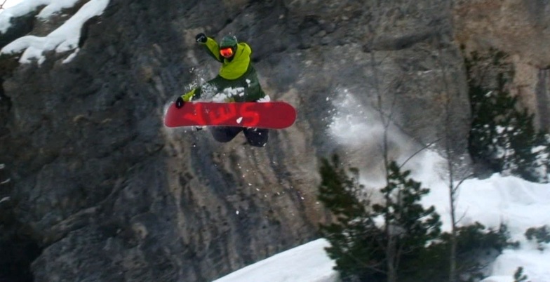
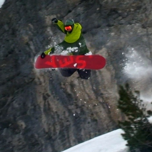
I was in Garmisch-Classic on 20th February 2011. It happened that at the same day the final of FIS Alpine Ski was held there. However, I did not watch the games, nor did they affect considerably the function of the ski center except from the fact that the lower part of Kandahar run was closed. The distance from Munich is by train (around 90 min). The daily ticket for lifts: 34 euro. Ski rental: 25 euro/day. One needs more than 1 day to ski whole center (maybe 2 days full ski is ok to ski everywhere). I started at Hausberg with easy 7. Then I tried the wonderful 4 (Olympia Abfahrt). Then I used Kreuzeckbahn and at the top I skied 11 (Hexenkessel) [very nice piste]. Finally through the ski path numbered 13 (and the famous Troegltunell - this is a tunnel with snow in order to keep ski center working during races held in Kandahar) I returned to Hausbegbahn. It has not snowed for 3 weeks. However, the snow was in good condition and only in some places was a bit hard packed. I loved Garmisch-Classic and can't wait to go back there and visit all the pistes that I missed on 20th Feb. 2011. Go there! Very beautiful ski center with fantastic surroundings. Best experience: ski run numbered 4 = Olympia Abfahrt = ski through pine forest!!
Complessivamente: 3.9 Basato su 19 voti e 1 recensione
Snowsure
3.8
Varietà di piste
4.1
Fuoripista
3.3
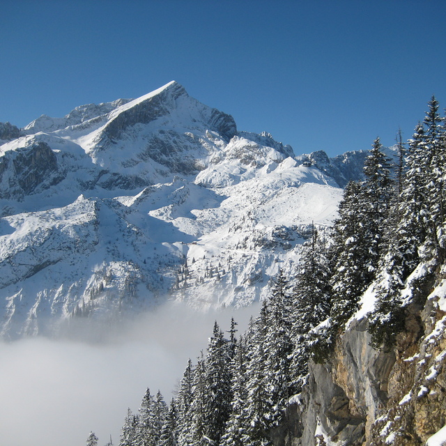
Paesaggio
4.4
Apres-Ski
3.3
Derion da Greece scrive:
I was in Garmisch-Classic on 20th February 2011. It happened that at the same day the final of FIS Alpine Ski was held there. However, I did not watch the games, nor did they affect considerably the function of the ski center except from the fact that the lower part of Kandahar run was closed. The distance from Munich is by train (around 90 min). The daily ticket for lifts: 34 euro. Ski rental: 25 euro/day. One needs more than 1 day to ski whole center (maybe 2 days full ski is ok to ski everywhere). I started at Hausberg with easy 7. Then I tried the wonderful 4 (Olympia Abfahrt). Then I used Kreuzeckbahn and at the top I skied 11 (Hexenkessel) [very nice piste]. Finally through the ski path numbered 13 (and the famous Troegltunell - this is a tunnel with snow in order to keep ski center working during races held in Kandahar) I returned to Hausbegbahn. It has not snowed for 3 weeks. However, the snow was in good condition and only in some places was a bit hard packed. I loved Garmisch-Classic and can't wait to go back there and visit all the pistes that I missed on 20th Feb. 2011. Go there! Very beautiful ski center with fantastic surroundings. Best experience: ski run numbered 4 = Olympia Abfahrt = ski through pine forest!!
Gratis Snow-Forecast.com weather widget per il tho sito
Il Garmisch-Classic widget meteo qui sotto è disponibile per essere incorporato su siti Web esterni a titolo gratuito. Esso fornisce un riepilogo giornaliero delle nostre Garmisch-Classic previsioni meteo neve e dati meteo. Basta andare alla pagina di configurazione e seguire 3 semplici passi per prendere il codice html personalizzato ed incollarlo nel tuo sito. È possibile scegliere l'elevazione di previsione di neve (vetta, metà o piede della montagna) e l'unità metrica/imperiale per le previsioni meteo neve adeguata al proprio sito Web Clicca qui per ottenere il codice


 Nearest