Publicato da Snow-Forecast.com a:7 pm (ora locale) / 01 Aug 2026
Ultimi 6 giorniScorri a sinistra per gli ultimi 6 giorniOra
Next 4 days weather summary:
Pioggia moderata (totale 13.0mm), più pesante Martedì pomeriggio. Temperature moderate (max 15°C Domenica pomeriggio, min 11°C Sabato notte). Vento sarà generalmente leggero.
Giorni 5-7 Courchevel sommario meteo
Pioggia abbondante (totale 30.0mm), più pesante durante Martedì notte. Temperature moderate (max 13°C Mercoledì pomeriggio, min 9°C Venerdì mattina). Vento sarà generalmente leggero.
La tabella sopra da le previsioni meteo per Courchevel a specifiche altezze 2738 m. I nostri sofisticati modelli meteo ci consentono di fornire previsioni neve per la vetta, l'area intermedia e a valle delle stazioni sciistiche di Courchevel. Per accedere alle previsioni meteo ad altre altezze, per spostarti usa tab sopra la tabella. Per una visione meteo piu' ampia , controlla la mappa meteo di France.
Clicca qui per leggere ulteriori informazioni sullo zero termico e il nostro sistema di prevedere le temperature.
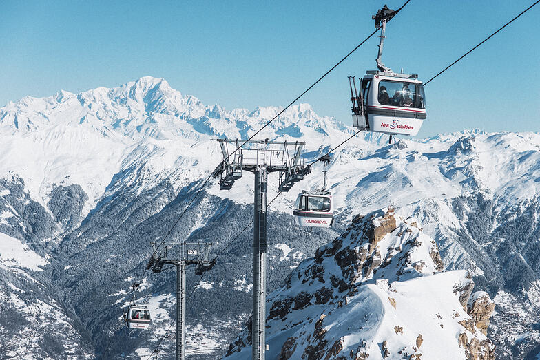
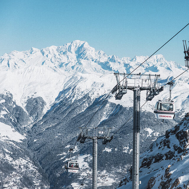
Recensioni dei visitatori di Courchevel
Complessivamente 4.3 Basato su 68 voti e 68 recensioni
I have been going to Courchevel every year for the last 12 years. I go at the end of December/ very early January. Often there is very little snow on 1650 and medium snow on 1850. This creates over-crowding on the limited slopes open at that time of the year. Snow is coming later and later in the season - ...?climate change. If you are going to Courchevel, I suggest you go mid-January onwards. If you go earlier, there is likely to be limited number of slopes open; lots of slopes but half of them mud and grass at the end of December.
Val Thorens for me this winter.
Complessivamente: 4.3 Basato su 68 voti e 68 recensioni
Snowsure
4.6
Varietà di piste
4.9
Fuoripista
4.3
Paesaggio
4.4
Apres-Ski
4.4
Jonah da United Kingdom scrive:
I have been going to Courchevel every year for the last 12 years. I go at the end of December/ very early January. Often there is very little snow on 1650 and medium snow on 1850. This creates over-crowding on the limited slopes open at that time of the year. Snow is coming later and later in the season - ...?climate change. If you are going to Courchevel, I suggest you go mid-January onwards. If you go earlier, there is likely to be limited number of slopes open; lots of slopes but half of them mud and grass at the end of December.
Val Thorens for me this winter.
Gratis Snow-Forecast.com weather widget per il tho sito
Il Courchevel widget meteo qui sotto è disponibile per essere incorporato su siti Web esterni a titolo gratuito. Esso fornisce un riepilogo giornaliero delle nostre Courchevel previsioni meteo neve e dati meteo. Basta andare alla pagina di configurazione e seguire 3 semplici passi per prendere il codice html personalizzato ed incollarlo nel tuo sito. È possibile scegliere l'elevazione di previsione di neve (vetta, metà o piede della montagna) e l'unità metrica/imperiale per le previsioni meteo neve adeguata al proprio sito Web Clicca qui per ottenere il codice


 Nearest