Publicato da Snow-Forecast.com a:7 am (ora locale) / 02 Aug 2026
Ultimi 6 giorniScorri a sinistra per gli ultimi 6 giorniOra
Next 3 days weather summary:
Pioggia moderata (totale 11.0mm), più pesante Martedì notte. Temperature moderate (max 17°C Domenica pomeriggio, min 11°C Martedì notte). Vento sarà generalmente leggero.
Giorni 4-6 Auris En Oisans sommario meteo
Pioggia abbondante (totale 22.0mm), più pesante durante Giovedì pomeriggio. Temperature moderate (max 16°C Mercoledì pomeriggio, min 11°C Venerdì mattina). Vento sarà generalmente leggero.
La tabella sopra da le previsioni meteo per Auris En Oisans a specifiche altezze 2465 m. I nostri sofisticati modelli meteo ci consentono di fornire previsioni neve per la vetta, l'area intermedia e a valle delle stazioni sciistiche di Auris En Oisans. Per accedere alle previsioni meteo ad altre altezze, per spostarti usa tab sopra la tabella. Per una visione meteo piu' ampia , controlla la mappa meteo di France.
Clicca qui per leggere ulteriori informazioni sullo zero termico e il nostro sistema di prevedere le temperature.
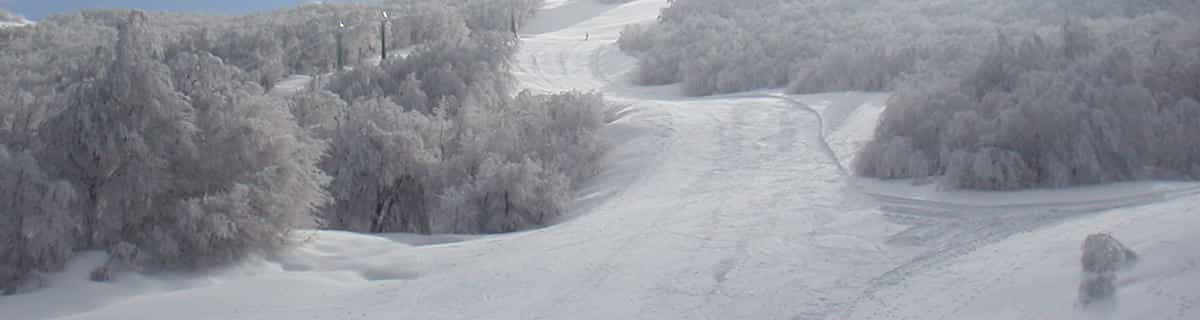
Recensioni dei visitatori di Auris En Oisans
Complessivamente 3.8 Basato su 4 voti e 2 recensioni
I cannot praise the resort of Auris En Oisans highly enough. We have been every winter for the last 4 years and have never tired of the variety of slopes ranging all the way up to black. It is great for families with young children. There are restaurants, cafes, shops and several ski hire establishments, but obviously there are less there than big resorts such as Alpe d'Huez. Eating out and accommodation is much cheaper than big resorts. It is possible to buy lift passes for the resort only or if required passes that include Alpe d'Huez too. This opens up a huge area for skiing. If you want a quiet resort with excellent slopes then this is the place for you.
Complessivamente: 3.8 Basato su 4 voti e 2 recensioni
Snowsure
4.2
Varietà di piste
4.5
Fuoripista
3.8
Paesaggio
4.2
Apres-Ski
3.0
hilary da France scrive:
I cannot praise the resort of Auris En Oisans highly enough. We have been every winter for the last 4 years and have never tired of the variety of slopes ranging all the way up to black. It is great for families with young children. There are restaurants, cafes, shops and several ski hire establishments, but obviously there are less there than big resorts such as Alpe d'Huez. Eating out and accommodation is much cheaper than big resorts. It is possible to buy lift passes for the resort only or if required passes that include Alpe d'Huez too. This opens up a huge area for skiing. If you want a quiet resort with excellent slopes then this is the place for you.
Gratis Snow-Forecast.com weather widget per il tho sito
Il Auris En Oisans widget meteo qui sotto è disponibile per essere incorporato su siti Web esterni a titolo gratuito. Esso fornisce un riepilogo giornaliero delle nostre Auris En Oisans previsioni meteo neve e dati meteo. Basta andare alla pagina di configurazione e seguire 3 semplici passi per prendere il codice html personalizzato ed incollarlo nel tuo sito. È possibile scegliere l'elevazione di previsione di neve (vetta, metà o piede della montagna) e l'unità metrica/imperiale per le previsioni meteo neve adeguata al proprio sito Web Clicca qui per ottenere il codice


 Nearest