Publicato da Snow-Forecast.com a:7 am (ora locale) / 31 Jul 2026
Ultimi 6 giorniScorri a sinistra per gli ultimi 6 giorniOra
Next 3 days weather summary:
Pioggia leggera (totale 6.0mm), per lo più che cade Venerdì pomeriggio. Caldo (max 29°C Venerdì mattina, min 17°C Venerdì notte). Vento sarà generalmente leggero.
Giorni 4-6 Arêches-Beaufort sommario meteo
Pioggia abbondante (totale 21.0mm), più pesante durante Lunedì notte. Caldo (max 31°C Lunedì pomeriggio, min 17°C Lunedì notte). Vento sarà generalmente leggero.
La tabella sopra da le previsioni meteo per Arêches-Beaufort a specifiche altezze 1050 m. I nostri sofisticati modelli meteo ci consentono di fornire previsioni neve per la vetta, l'area intermedia e a valle delle stazioni sciistiche di Arêches-Beaufort. Per accedere alle previsioni meteo ad altre altezze, per spostarti usa tab sopra la tabella. Per una visione meteo piu' ampia , controlla la mappa meteo di France.
Clicca qui per leggere ulteriori informazioni sullo zero termico e il nostro sistema di prevedere le temperature.
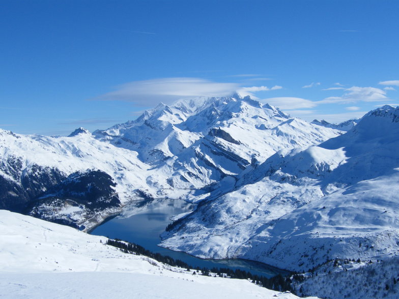
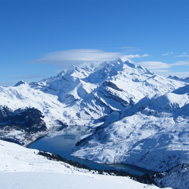
Il nome della localita' è scritto anche come Areches Beaufort.
Recensioni dei visitatori di Arêches-Beaufort
Complessivamente 4.2 Basato su 8 voti e 3 recensioni
Beaufort is certainly one of the best places to find traditional French skiing. Set with few foreigners, few Parisians and a lot of fresh snow. Restaurants are typically alpine style. Cheap, good. Folk are kind.
Try the famous "Beaufort" cheese. Delicious whith a red savoyard wine like "Mondeuse".
Beaufort is a very snowy and cold village where Frison Roche, the famous French alpine writer, used to live.
Huge forest where you're skiing down hard slopes.
Hotels and flats are cheap.
From Albertville the famous '92 Olympic games city, you drive 25 KM, then you find the bottom of the world!
You can ski from end of November to end of April, snow is deep every time!
Complessivamente: 4.2 Basato su 8 voti e 3 recensioni
Snowsure
4.8
Varietà di piste
4.7
Fuoripista
5.0
Paesaggio
5.0
Apres-Ski
2.9
eric Bastié da France scrive:
Beaufort is certainly one of the best places to find traditional French skiing. Set with few foreigners, few Parisians and a lot of fresh snow. Restaurants are typically alpine style. Cheap, good. Folk are kind.
Try the famous "Beaufort" cheese. Delicious whith a red savoyard wine like "Mondeuse".
Beaufort is a very snowy and cold village where Frison Roche, the famous French alpine writer, used to live.
Huge forest where you're skiing down hard slopes.
Hotels and flats are cheap.
From Albertville the famous '92 Olympic games city, you drive 25 KM, then you find the bottom of the world!
You can ski from end of November to end of April, snow is deep every time!
Gratis Snow-Forecast.com weather widget per il tho sito
Il Arêches-Beaufort widget meteo qui sotto è disponibile per essere incorporato su siti Web esterni a titolo gratuito. Esso fornisce un riepilogo giornaliero delle nostre Arêches-Beaufort previsioni meteo neve e dati meteo. Basta andare alla pagina di configurazione e seguire 3 semplici passi per prendere il codice html personalizzato ed incollarlo nel tuo sito. È possibile scegliere l'elevazione di previsione di neve (vetta, metà o piede della montagna) e l'unità metrica/imperiale per le previsioni meteo neve adeguata al proprio sito Web Clicca qui per ottenere il codice


 Nearest