

America’s Next Indoor Snow Centre Takes Shape
Construction of a new indoor snow centre for skiers, boarders and tubers appears to be making good progress at Heritage Farm in Wayne County, West Virginia.

Next 3 days weather summary:Qualche pioggerella, più pesante durante Giovedì mattina. Temperature moderate (max 19°C Sabato notte, min 6°C Giovedì mattina). Venti in aumento (venti deboli da ONO Venerdì notte, venti freschi da OSO per Sabato notte). | Giorni 4-6 Arber sommario meteoPioggia moderata (totale 12.0mm), più pesante Domenica notte. Temperature moderate (max 19°C Domenica pomeriggio, min 8°C Lunedì mattina). Venti decrescenti (forte vento da ONO Domenica notte, calma per Martedì pomeriggio). | |||||||||||||||||
Giovedì 23 | Venerdì 24 | Sabato 25 | Domenica 26 | Lunedì 27 | Martedì 28 | |||||||||||||
AM | PM | notte | AM | PM | notte | AM | PM | notte | AM | PM | notte | AM | PM | notte | AM | PM | notte | |
rovesci pioggia | poche nuvole | limpido | limpido | limpido | poche nuvole | poche nuvole | poche nuvole | limpido | poche nuvole | poche nuvole | pioggia moderata | rovesci pioggia | rovesci pioggia | limpido | limpido | limpido | limpido | |
km/h | ||||||||||||||||||
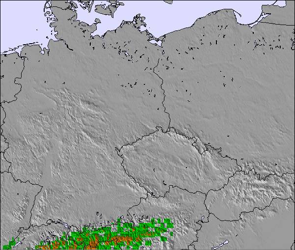
Mappa neve |  |  |  | 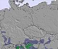 | 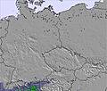 | 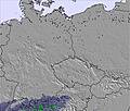 | ||||||||||||
— | — | — | — | — | — | — | — | — | — | — | — | — | — | — | — | — | — | |
mm | 1 | — | — | — | — | — | — | — | — | — | — | 9 | 2 | 1 | — | — | — | — |
max °C | 6 | 7 | 7 | 8 | 12 | 13 | 13 | 16 | 19 | 18 | 19 | 15 | 8 | 11 | 11 | 11 | 15 | 15 |
min °C | 6 | 6 | 6 | 7 | 11 | 12 | 12 | 15 | 17 | 17 | 18 | 9 | 8 | 9 | 10 | 10 | 14 | 15 |
chill °C | 1 | 2 | 3 | 5 | 10 | 12 | 11 | 14 | 16 | 16 | 17 | 4 | 4 | 6 | 10 | 9 | 14 | 14 |
Umido. % | 97 | 81 | 73 | 67 | 47 | 52 | 52 | 48 | 39 | 50 | 40 | 95 | 97 | 65 | 60 | 59 | 47 | 52 |
Zero termico m | 2700 | 2700 | 2650 | 3050 | 3400 | 3700 | 3800 | 4000 | 4100 | 3800 | 3700 | 3300 | 3050 | 3400 | 3600 | 4000 | 4300 | 4400 |
5:26 | — | — | 5:28 | — | — | 5:28 | — | — | 5:31 | — | — | 5:31 | — | — | 5:33 | — | — | |
— | — | 8:59 | — | — | 8:58 | — | — | 8:57 | — | — | 8:55 | — | — | 8:53 | — | — | 8:52 | |
Diventa pro e intaglia:
Informazioni valanghe: European Avalanche Warning Services (EAWS)
Gli ultimi report della neve vicino a Arber:
| La profondità maggiore della neve é: | 0 cm |
|---|---|
| La profondità minore della neve é: | 0 cm |
| Fresh snowfall depth: | — |
| Quando ha nevicato l'ultima volta? | 15 May 2026 |
0.0 | Giorni neve fresca Neve fresca, prevalentemente soleggiato, vento debole. |
|---|---|
0.0 | Giorni neve fresca Fresh snow, limited sun, any wind. |
0.0 | Giorni Bluebird Neve media, prevalentemente soleggiato, vento debole. |
La tabella sopra da le previsioni meteo per Arber a specifiche altezze 1456 m. I nostri sofisticati modelli meteo ci consentono di fornire previsioni neve per la vetta, l'area intermedia e a valle delle stazioni sciistiche di Arber. Per accedere alle previsioni meteo ad altre altezze, per spostarti usa tab sopra la tabella. Per una visione meteo piu' ampia , controlla la mappa meteo di Germany.
Clicca qui per leggere ulteriori informazioni sullo zero termico e il nostro sistema di prevedere le temperature.
Complessivamente 3.4 Basato su 11 voti e 1 recensione
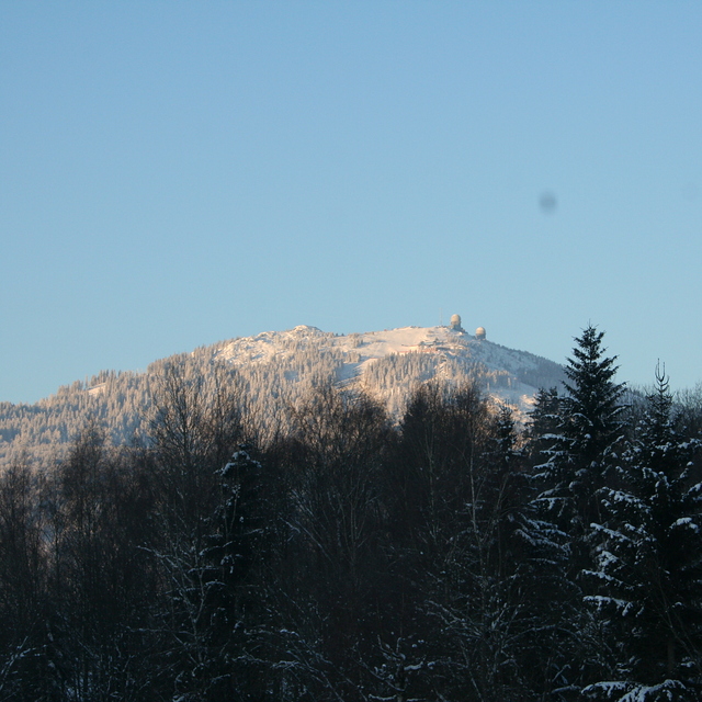
Arber is a smallish resort but the biggest in Germany outside the Alps. It has easy and difficult runs but go there low season to enjoy it because during high season it's extremely busy, especially when all the little ski areas in the region are shut due to lack of snow; queueing for 30 mins for 10 mins or less skiing is common. We've been twice,and experienced excellent snow conditions but you need patience waiting for uplift. The Arber is beautifully forested and the runs are scenic. Accommodation locally is excellent and good value with superb food. Arber is a great place to go for a couple of days but avoid busy periods.
Roger Pitman da United Kingdom scrive:
Arber is a smallish resort but the biggest in Germany outside the Alps. It has easy and difficult runs but go there low season to enjoy it because during high season it's extremely busy, especially when all the little ski areas in the region are shut due to lack of snow; queueing for 30 mins for 10 mins or less skiing is common. We've been twice,and experienced excellent snow conditions but you need patience waiting for uplift. The Arber is beautifully forested and the runs are scenic. Accommodation locally is excellent and good value with superb food. Arber is a great place to go for a couple of days but avoid busy periods.

 Nearest