Una pesante caduta di neve, più pesante durante Giovedì mattina. Le temperature saranno sotto lo zero (max 0°C Mercoledì mattina, min -3°C Giovedì notte). Vento sarà generalmente leggero.
Giorni 4-6 Anzère sommario meteo
Una pesante caduta di neve, più pesante durante Domenica notte. Le temperature saranno sotto lo zero (max -1°C Domenica mattina, min -7°C Lunedì notte). Vento sarà generalmente leggero.
Light rain reported from Sion at 339 metres elevation only 2 kms NW of Veysonnaz-Printse but it is forecast cold enough for snow at higher elevations in the ski area da Veysonnaz-Printse
12km Assente da Anzère
8 hours fa
Light rain reported from Sion Airport at 339 metres elevation only 2 kms NW of Veysonnaz-Printse but it is forecast cold enough for snow at higher elevations in the ski area da Veysonnaz-Printse
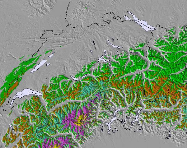
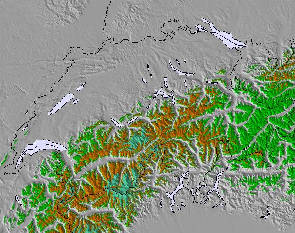
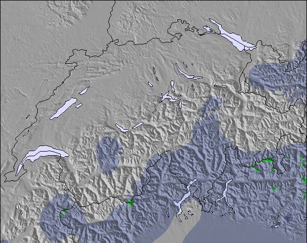
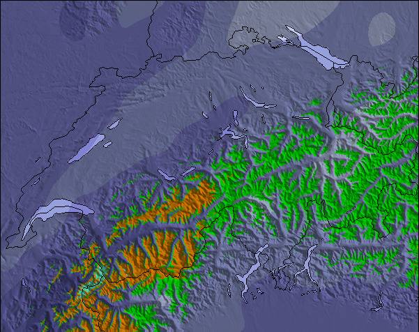
La tabella sopra da le previsioni meteo per Anzère a specifiche altezze 1960 m. I nostri sofisticati modelli meteo ci consentono di fornire previsioni neve per la vetta, l'area intermedia e a valle delle stazioni sciistiche di Anzère. Per accedere alle previsioni meteo ad altre altezze, per spostarti usa tab sopra la tabella. Per una visione meteo piu' ampia , controlla la mappa meteo di Switzerland.
Clicca qui per leggere ulteriori informazioni sullo zero termico e il nostro sistema di prevedere le temperature.
Il nome della localita' è scritto anche come Anzere.
Recensioni dei visitatori di Anzère
Complessivamente 4.4 Basato su 31 voti e 4 recensioni
Don't bother visiting Anzere (Anzère), unless of course you enjoy uncrowded pistes, spectacular mountain views, tasty slopeside restaurants along with genuine Swiss hospitality.
While this small resort cannot boast the huge expanse of terrain of its bigger neighbours it does offer varied and interesting skiing for all abilities, particularly intermediate skiers / boarders.
If you hire a car there are literally 10s of nearby resorts to explore.
I normally stay in Hotel Zodiaque which is very reasonably priced and has a lively bar and friendly staff.
You have to walk about 5 minutes to the ski lift, or for the fat and lazy there is a free shuttle bus every few minutes, the upside is that you can ski back right up to the hotel door in all but the worst snow conditions.
It has taken me years to write this review because I want this resort to remain as it is an undiscovered gem.
John.
Complessivamente: 4.4 Basato su 31 voti e 4 recensioni
Snowsure
4.1
Varietà di piste
4.4
Fuoripista
4.4
Paesaggio
4.5
Apres-Ski
4.0
John horgan da United Kingdom scrive:
Don't bother visiting Anzere (Anzère), unless of course you enjoy uncrowded pistes, spectacular mountain views, tasty slopeside restaurants along with genuine Swiss hospitality.
While this small resort cannot boast the huge expanse of terrain of its bigger neighbours it does offer varied and interesting skiing for all abilities, particularly intermediate skiers / boarders.
If you hire a car there are literally 10s of nearby resorts to explore.
I normally stay in Hotel Zodiaque which is very reasonably priced and has a lively bar and friendly staff.
You have to walk about 5 minutes to the ski lift, or for the fat and lazy there is a free shuttle bus every few minutes, the upside is that you can ski back right up to the hotel door in all but the worst snow conditions.
It has taken me years to write this review because I want this resort to remain as it is an undiscovered gem.
John.
Gratis Snow-Forecast.com weather widget per il tho sito
Il Anzère widget meteo qui sotto è disponibile per essere incorporato su siti Web esterni a titolo gratuito. Esso fornisce un riepilogo giornaliero delle nostre Anzère previsioni meteo neve e dati meteo. Basta andare alla pagina di configurazione e seguire 3 semplici passi per prendere il codice html personalizzato ed incollarlo nel tuo sito. È possibile scegliere l'elevazione di previsione di neve (vetta, metà o piede della montagna) e l'unità metrica/imperiale per le previsioni meteo neve adeguata al proprio sito Web Clicca qui per ottenere il codice

 ski hire exclusive discount




 Snow
 Previsioni neve orarie e a 16 giorni



 Iscriviti o Accedi
 Scarica una nuova foto

 Nearest