


View forecast
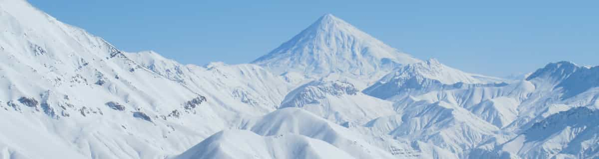
Schwefelberg-Bad at 1626 m altitudine
Publicato da Snow-Forecast.com a: 7 am (ora locale) / 07 May 2024
Now
Tuesday 7 | Wednesday 8 | Thursday 9 | Friday 10 | Saturday 11 | Sunday 12 | Monday 13 | |||||||||||||||
AM | PM | notte | AM | PM | notte | AM | PM | notte | AM | PM | notte | AM | PM | notte | AM | PM | notte | AM | PM | notte | |
pioggia leggera | nevi cata leggera | forte pioggia | pioggia leggera | pioggia leggera | poche nuvole | limpido | poche nuvole | limpido | limpido | poche nuvole | poche nuvole | limpido | rovescio di pioggia | rovescio di pioggia | rischio temporale | rischio temporale | pioggia leggera | poche nuvole | rischio temporale | pioggia leggera | |
km/h | |||||||||||||||||||||
Snow map |  |  |  |  |  |  |  | ||||||||||||||
cm | — | 3 | — | — | — | — | — | — | — | — | — | — | — | — | — | — | — | — | — | — | — |
mm | 5 | 6 | 13 | 2.0 | 2.0 | — | — | — | — | — | — | — | — | 1.0 | 1.0 | 1.0 | 3 | 3 | — | 3 | 3 |
max°C | 2 | 2 | 2 | 2 | 3 | 3 | 6 | 9 | 7 | 10 | 12 | 10 | 12 | 13 | 11 | 12 | 12 | 9 | 11 | 13 | 10 |
min°C | 2 | 2 | 1 | 2 | 3 | 1 | 3 | 9 | 5 | 7 | 12 | 7 | 9 | 13 | 8 | 9 | 11 | 7 | 8 | 13 | 8 |
chill°C | 2 | -1 | -1 | -2 | -1 | -3 | 0 | 8 | 4 | 7 | 12 | 7 | 9 | 13 | 8 | 9 | 11 | 6 | 8 | 13 | 7 |
Umido.% | 99 | 99 | 99 | 99 | 96 | 84 | 81 | 73 | 74 | 71 | 65 | 68 | 68 | 64 | 69 | 72 | 67 | 64 | 66 | 61 | 66 |
Zero termico (m) | 2000 | 2000 | 2250 | 2200 | 2200 | 2550 | 2900 | 3000 | 3200 | 3200 | 3100 | 3300 | 3300 | 3350 | 3300 | 3200 | 3250 | 3050 | 3050 | 3150 | 3350 |
6:05 | — | — | 6:03 | — | — | 6:03 | — | — | 6:01 | — | — | 6:00 | — | — | 5:58 | — | — | 5:56 | — | — | |
— | — | 8:47 | — | — | 8:49 | — | — | 8:51 | — | — | 8:52 | — | — | 8:52 | — | — | 8:53 | — | — | 8:55 | |
Prossimi 0-3 giorni riassunto meteo
Una spolverata di neve. Più mite successivamente con pioggia battente (totale 28.0mm) Martedì notte. Temperature moderate (max 9°C Giovedì pomeriggio, min 1°C Martedì notte). Vento sarà generalmente leggero.
Prossimi 4-6 giorni riassunto meteo
Pioggia leggera (totale 9.0mm), per lo più che cade Domenica pomeriggio. Temperature moderate (max 13°C Sabato pomeriggio, min 7°C Venerdì mattina). Vento sarà generalmente leggero.
Popular Schwefelberg-Bad Pages
Radar Neve
Invia un reportGli ultimi report della neve vicino a Schwefelberg-Bad:
40 km Assente da Schwefelberg-Bad
1 hour fa
Continuous light snow reported from Jungfrau Mountain at 3576 metres elevation 7 kms E of Mürren but it is probably falling as rain at the bottom of the ski area da Mürren
40 km Assente da Schwefelberg-Bad
13 hour faContinuous light snow reported from Jungfrau Mountain at 3576 metres elevation 7 kms E of Mürren but it is probably falling as rain apart from near the top of the ski area da Mürren
Schwefelberg-Bad Condizioni della neve
| La profondità maggiore della neve é: | — |
|---|---|
| La profondità minore della neve é: | — |
| Fresh snowfall depth: | 2 cm |
| Quando ha nevicato l'ultima volta? | 6 May 2024 |
Altre località in Switzerland stanno segnalando: neve fresca (0) / buona pista (2)
Snow-Forecast Partner Offers
Show your business here
Storia della neve
Settimana 1 di May ha in media:
0.0 | Giorni neve fresca Neve fresca, prevalentemente soleggiato, vento debole. |
|---|---|
0.1 | Giorni neve fresca Fresh snow, limited sun, any wind. |
0.0 | Giorni Bluebird Neve media, prevalentemente soleggiato, vento debole. |


Altre località in Switzerland stanno segnalando: neve fresca (0) / buona pista (2)
La tabella sopra da le previsioni meteo per Schwefelberg-Bad a specifiche altezze 1626 m. I nostri sofisticati modelli meteo ci consentono di fornire previsioni neve per la vetta, l'area intermedia e a valle delle stazioni sciistiche di Schwefelberg-Bad. Per accedere alle previsioni meteo ad altre altezze, per spostarti usa tab sopra la tabella. Per una visione meteo piu' ampia , controlla la mappa meteo di Switzerland.
Clicca qui per leggere ulteriori informazioni sullo zero termico e il nostro sistema di prevedere le temperature.
Recensioni dei visitatori di Schwefelberg-Bad
Gratis Snow-Forecast.com weather widget per il tho sito
Il Schwefelberg-Bad widget meteo qui sotto è disponibile per essere incorporato su siti Web esterni a titolo gratuito. Esso fornisce un riepilogo giornaliero delle nostre Schwefelberg-Bad previsioni meteo neve e dati meteo. Basta andare alla pagina di configurazione e seguire 3 semplici passi per prendere il codice html personalizzato ed incollarlo nel tuo sito. È possibile scegliere l'elevazione di previsione di neve (vetta, metà o piede della montagna) e l'unità metrica/imperiale per le previsioni meteo neve adeguata al proprio sito Web Clicca qui per ottenere il codice
Guarda previsioni meteo neve dettagliate per Schwefelberg-Bad a:
snow-forecast.com

 Nearest