
Ski Hire by Skiset
extra 5% off
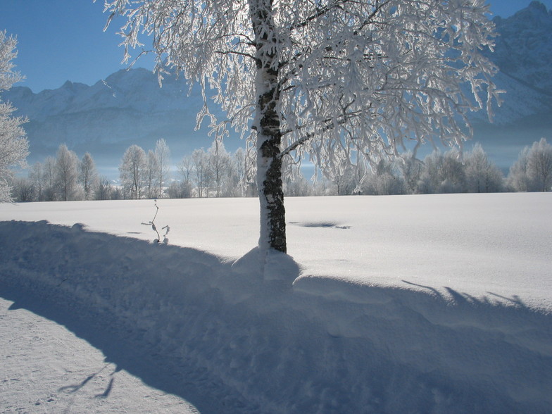

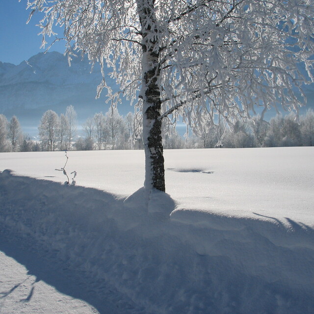
Lermoos Weather (Next 3 days): The snow forecast for Lermoos is: Una pesante caduta di neve, più pesante durante Mercoledì pomeriggio. Condizioni di gelo e disgelo (max 1°C Martedì pomeriggio, min -6°C Mercoledì notte). Vento sarà generalmente leggero.
Lermoos Weather (Days 4-6): Una pesante caduta di neve, più pesante durante Venerdì notte. Le temperature saranno sotto lo zero (max -1°C Venerdì pomeriggio, min -6°C Sabato notte). Vento sarà generalmente leggero.
| Altezza | Spessore della neve | Temp. (°C) | Vento (km/h) | Meteo | ||
|---|---|---|---|---|---|---|
| Cima: | 0.0 m | -4 | ||||
| Media: | 1 | |||||
| Fondo: | 0.0 m | 6 |
Gli ultimi report della neve vicino a Lermoos:
Rain and snow or hail reported from Oberstdorf at 723 metres elevation 5 kms NE of Oberstdorf-Söllereck but it is probably falling as rain apart from near the top of the ski area da Oberstdorf-Söllereck
Freezing rain reported from Zugspitze at 2337 metres elevation one km S of Garmisch-Partenkirchen-Zugspitze but it is forecast cold enough for snow at the ski area da Garmisch-Partenkirchen-Zugspitze
Rain reported from Seefeld at 1204 metres elevation only 2 kms SW of Seefeld but it is forecast cold enough for snow at higher elevations in the ski area da Seefeld

Tue 16 | Wednesday 17 | Thursday 18 | Friday 19 | Saturday 20 | Sunday 21 | Monday 22 | ||||||||||||||
PM | notte | AM | PM | notte | AM | PM | notte | AM | PM | notte | AM | PM | notte | AM | PM | notte | AM | PM | notte | |
poche nuvole | nevi cata leggera | nevi cata leggera | nevi cata mod. | nevi cata leggera | nevi cata leggera | nevi cata leggera | nevi cata leggera | nuvol- oso | nevi cata leggera | nevi cata mod. | nevi cata leggera | nevi cata leggera | nevi cata mod. | nevi cata leggera | nevi cata leggera | nevi cata mod. | nevi cata leggera | nevi cata leggera | nevi cata leggera | |
km/h | ||||||||||||||||||||
Snow map |  |  |  |  |  |  |  | |||||||||||||
cm | — | 3 | 4 | 6 | 4 | 1.0 | 2.0 | 2.0 | — | — | 8 | 2.0 | 2.0 | 8 | 1.0 | 1.0 | 8 | — | 1.0 | — |
mm | — | — | — | — | — | — | — | — | — | — | — | — | — | — | — | — | — | — | — | — |
max°C | 1 | -1 | -2 | -2 | -3 | -3 | -2 | -4 | -2 | -1 | -2 | -3 | -2 | -3 | -4 | -2 | -4 | -4 | -2 | -3 |
min°C | 1 | -3 | -3 | -2 | -6 | -5 | -2 | -5 | -4 | -2 | -3 | -4 | -2 | -6 | -6 | -3 | -6 | -6 | -3 | -4 |
chill°C | -5 | -6 | -6 | -6 | -8 | -5 | -5 | -5 | -7 | -6 | -7 | -7 | -5 | -9 | -8 | -6 | -9 | -6 | -6 | -7 |
Umido.% | 55 | 95 | 95 | 92 | 92 | 89 | 89 | 97 | 70 | 90 | 97 | 82 | 94 | 97 | 82 | 80 | 97 | 83 | 81 | 72 |
Zero termico (m) | 1700 | 1200 | 1200 | 1200 | 500 | 1100 | 1250 | 650 | 1300 | 1300 | 1150 | 1200 | 1250 | 850 | 950 | 1200 | 900 | 1000 | 1300 | 700 |
— | — | 6:22 | — | — | 6:20 | — | — | 6:20 | — | — | 6:18 | — | — | 6:16 | — | — | 6:13 | — | — | |
— | 8:07 | — | — | 8:07 | — | — | 8:09 | — | — | 8:10 | — | — | 8:13 | — | — | 8:14 | — | — | 8:15 | |
Una pesante caduta di neve, più pesante durante Mercoledì pomeriggio. Condizioni di gelo e disgelo (max 1°C Martedì pomeriggio, min -6°C Mercoledì notte). Vento sarà generalmente leggero.
Una pesante caduta di neve, più pesante durante Venerdì notte. Le temperature saranno sotto lo zero (max -1°C Venerdì pomeriggio, min -6°C Sabato notte). Vento sarà generalmente leggero.
Gli ultimi report della neve vicino a Lermoos:
Rain and snow or hail reported from Oberstdorf at 723 metres elevation 5 kms NE of Oberstdorf-Söllereck but it is probably falling as rain apart from near the top of the ski area da Oberstdorf-Söllereck
Freezing rain reported from Zugspitze at 2337 metres elevation one km S of Garmisch-Partenkirchen-Zugspitze but it is forecast cold enough for snow at the ski area da Garmisch-Partenkirchen-Zugspitze
Rain reported from Seefeld at 1204 metres elevation only 2 kms SW of Seefeld but it is forecast cold enough for snow at higher elevations in the ski area da Seefeld
| La profondità maggiore della neve é: | 0 cm |
|---|---|
| La profondità minore della neve é: | 0 cm |
| Fresh snowfall depth: | 3 cm |
| Quando ha nevicato l'ultima volta? | 15 Apr 2024 |
0.1 | Giorni neve fresca Neve fresca, prevalentemente soleggiato, vento debole. |
|---|---|
0.4 | Giorni neve fresca Fresh snow, limited sun, any wind. |
0.3 | Giorni Bluebird Neve media, prevalentemente soleggiato, vento debole. |
La tabella sopra da le previsioni meteo per Lermoos a specifiche altezze 1561 m. I nostri sofisticati modelli meteo ci consentono di fornire previsioni neve per la vetta, l'area intermedia e a valle delle stazioni sciistiche di Lermoos. Per accedere alle previsioni meteo ad altre altezze, per spostarti usa tab sopra la tabella. Per una visione meteo piu' ampia , controlla la mappa meteo di Austria.
Clicca qui per leggere ulteriori informazioni sullo zero termico e il nostro sistema di prevedere le temperature.
Complessivamente 3.0 Basato su 6 voti e 8 recensioni
Excellent resort. As a low-intermediate snowboarder with only UK experience I loved the variety of pistes and no queuing (late Feb). Choice of gondolas or chairlifts. I travelled alone and found everyone very friendly, especially at Tirolhof Hotel which I'd recommend. I speak no German, which would have been useful as they are mostly geared up for Dutch visitors not English. Flew to Munich, about 2 hrs easy drive by hire car and straight onto the pistes before going to hotel. All 5 linked resorts in easy reach but the free bus connections unnecessarily complicated. Driving is easy and parking free and available. Only downside - incessant umpah music from the piste-side facilities - at least the lift to the amazing Zugspitze was playing Pearl Jam. Don't be tempted by the cheapest options in restaurants unless you agree that greasy onion and potato constitutes a meal. Otherwise, excellent - I'll certainly go again if I get a chance and I would fly-drive again.
David da United Kingdom scrive:
Excellent resort. As a low-intermediate snowboarder with only UK experience I loved the variety of pistes and no queuing (late Feb). Choice of gondolas or chairlifts. I travelled alone and found everyone very friendly, especially at Tirolhof Hotel which I'd recommend. I speak no German, which would have been useful as they are mostly geared up for Dutch visitors not English. Flew to Munich, about 2 hrs easy drive by hire car and straight onto the pistes before going to hotel. All 5 linked resorts in easy reach but the free bus connections unnecessarily complicated. Driving is easy and parking free and available. Only downside - incessant umpah music from the piste-side facilities - at least the lift to the amazing Zugspitze was playing Pearl Jam. Don't be tempted by the cheapest options in restaurants unless you agree that greasy onion and potato constitutes a meal. Otherwise, excellent - I'll certainly go again if I get a chance and I would fly-drive again.
Il Lermoos widget meteo qui sotto è disponibile per essere incorporato su siti Web esterni a titolo gratuito. Esso fornisce un riepilogo giornaliero delle nostre Lermoos previsioni meteo neve e dati meteo. Basta andare alla pagina di configurazione e seguire 3 semplici passi per prendere il codice html personalizzato ed incollarlo nel tuo sito. È possibile scegliere l'elevazione di previsione di neve (vetta, metà o piede della montagna) e l'unità metrica/imperiale per le previsioni meteo neve adeguata al proprio sito Web Clicca qui per ottenere il codice
Guarda previsioni meteo neve dettagliate per Lermoos a:
snow-forecast.com


 Nearest