


View forecast
Hohenbogen at 868 m altitudine
Publicato da Snow-Forecast.com a: 1 am (ora locale) / 26 Apr 2024
Now
Friday 26 | Saturday 27 | Sunday 28 | Monday 29 | Tuesday 30 | Wednesday 1 | Thursday 2 | |||||||||||||||
AM | PM | notte | AM | PM | notte | AM | PM | notte | AM | PM | notte | AM | PM | notte | AM | PM | notte | AM | PM | notte | |
limpido | nuvol- oso | nuvol- oso | limpido | limpido | poche nuvole | limpido | limpido | limpido | poche nuvole | poche nuvole | limpido | limpido | poche nuvole | poche nuvole | poche nuvole | poche nuvole | limpido | limpido | rischio temporale | rovescio di pioggia | |
km/h | |||||||||||||||||||||
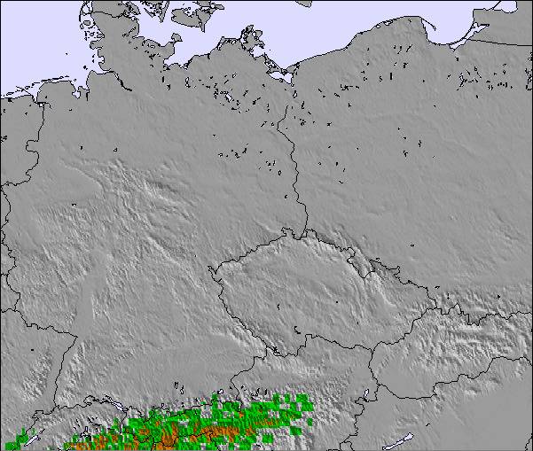
Snow map | 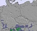 | 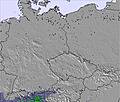 | 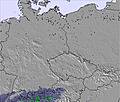 | 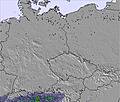 | 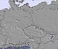 | 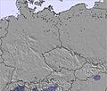 | 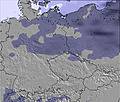 | ||||||||||||||
cm | — | — | — | — | — | — | — | — | — | — | — | — | — | — | — | — | — | — | — | — | — |
mm | — | — | — | — | — | — | — | — | — | — | — | — | — | — | — | — | — | — | — | 2.0 | 5 |
max°C | 5 | 9 | 8 | 10 | 14 | 11 | 12 | 15 | 14 | 14 | 16 | 14 | 16 | 19 | 18 | 17 | 19 | 18 | 14 | 16 | 15 |
min°C | 2 | 8 | 6 | 7 | 13 | 9 | 10 | 15 | 11 | 12 | 15 | 12 | 13 | 18 | 14 | 15 | 17 | 11 | 11 | 15 | 12 |
chill°C | -3 | 5 | 4 | 5 | 12 | 8 | 10 | 15 | 11 | 12 | 15 | 12 | 13 | 18 | 14 | 15 | 17 | 9 | 9 | 14 | 12 |
Umido.% | 64 | 59 | 59 | 52 | 42 | 64 | 52 | 56 | 63 | 60 | 72 | 76 | 63 | 60 | 59 | 54 | 54 | 62 | 74 | 72 | 74 |
Zero termico (m) | 1450 | 1950 | 2150 | 2200 | 2550 | 2850 | 3100 | 3150 | 3250 | 3200 | 3150 | 3150 | 3300 | 3350 | 3300 | 3350 | 3400 | 3400 | 3100 | 3000 | 2950 |
5:54 | — | — | 5:52 | — | — | 5:50 | — | — | 5:48 | — | — | 5:48 | — | — | 5:46 | — | — | 5:43 | — | — | |
— | — | 8:17 | — | — | 8:19 | — | — | 8:21 | — | — | 8:22 | — | — | 8:23 | — | — | 8:24 | — | — | 8:27 | |
Prossimi 0-3 giorni riassunto meteo
Per lo più asciutto. Temperature moderate (max 15°C Domenica pomeriggio, min 2°C Venerdì mattina). Vento sarà generalmente leggero.
Prossimi 4-6 giorni riassunto meteo
Per lo più asciutto. Temperature moderate (max 19°C Martedì pomeriggio, min 11°C Mercoledì notte). Vento sarà generalmente leggero.
Popular Hohenbogen Pages
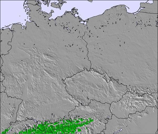
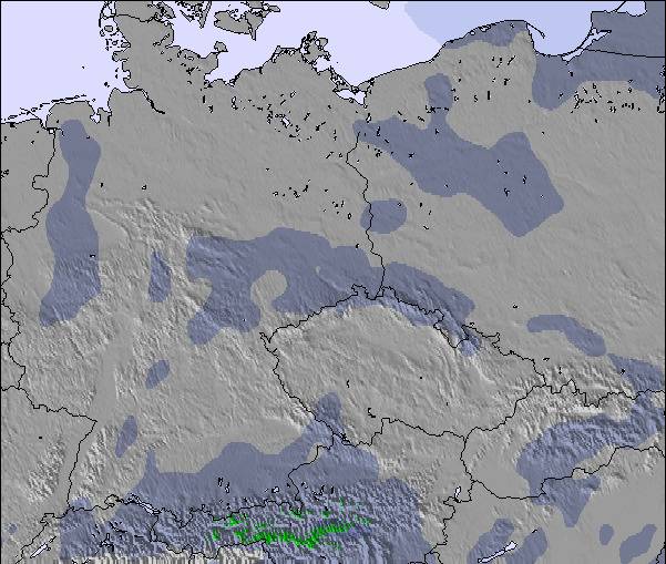
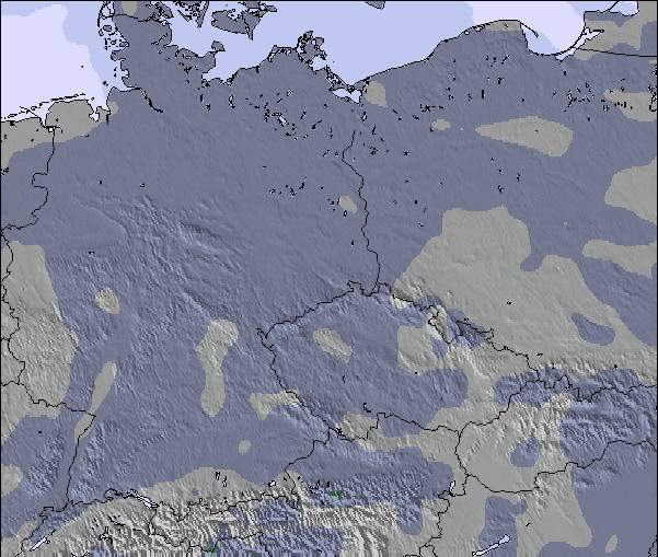
Radar Neve
Invia un reportGli ultimi report della neve vicino a Hohenbogen:
30 km Assente da Hohenbogen
4 hour fa
Drizzle reported from Grosser Arber at 1446 metres elevation S of Arber but it is forecast cold enough for snow at the ski area da Arber
30 km Assente da Hohenbogen
12 hour faFreezing rain reported from Grosser Arber at 1446 metres elevation S of Arber but it is forecast cold enough for snow at the ski area da Arber
42 km Assente da Hohenbogen
14 hour faSnow showers reported from Primda at 684 metres elevation one km SSW of Přimda but it is probably falling as rain apart from near the top of the ski area da Přimda
Hohenbogen Condizioni della neve
| La profondità maggiore della neve é: | — |
|---|---|
| La profondità minore della neve é: | — |
| Fresh snowfall depth: | 1 cm |
| Quando ha nevicato l'ultima volta? | 25 Apr 2024 |
Altre località in Germany stanno segnalando: neve fresca (2) / buona pista (2)
Snow-Forecast Partner Offers
Show your business here
Storia della neve
Settimana 4 di April ha in media:
0.1 | Giorni neve fresca Neve fresca, prevalentemente soleggiato, vento debole. |
|---|---|
0.0 | Giorni neve fresca Fresh snow, limited sun, any wind. |
0.1 | Giorni Bluebird Neve media, prevalentemente soleggiato, vento debole. |

Altre località in Germany stanno segnalando: neve fresca (2) / buona pista (2)
La tabella sopra da le previsioni meteo per Hohenbogen a specifiche altezze 868 m. I nostri sofisticati modelli meteo ci consentono di fornire previsioni neve per la vetta, l'area intermedia e a valle delle stazioni sciistiche di Hohenbogen. Per accedere alle previsioni meteo ad altre altezze, per spostarti usa tab sopra la tabella. Per una visione meteo piu' ampia , controlla la mappa meteo di Germany.
Clicca qui per leggere ulteriori informazioni sullo zero termico e il nostro sistema di prevedere le temperature.
Recensioni dei visitatori di Hohenbogen
Gratis Snow-Forecast.com weather widget per il tho sito
Il Hohenbogen widget meteo qui sotto è disponibile per essere incorporato su siti Web esterni a titolo gratuito. Esso fornisce un riepilogo giornaliero delle nostre Hohenbogen previsioni meteo neve e dati meteo. Basta andare alla pagina di configurazione e seguire 3 semplici passi per prendere il codice html personalizzato ed incollarlo nel tuo sito. È possibile scegliere l'elevazione di previsione di neve (vetta, metà o piede della montagna) e l'unità metrica/imperiale per le previsioni meteo neve adeguata al proprio sito Web Clicca qui per ottenere il codice
Guarda previsioni meteo neve dettagliate per Hohenbogen a:
snow-forecast.com

 Nearest