comScore pixel
Naviga senza pubblicità con SnowPro
Neve della stazione sciistica Crans Montana
Sci Switzerland

Crans Montana 16 Giorni Previsioni Neve

46.28° N 7.41° E

Previsione Meteo per Crans Montana 1500 m altitudine

Prossima neve a Crans Montana:
1.6 cm il Mar 17
Emesso:
12 pm 17 Nov 2026 (ora locale)
Previsione neve aggiornata in:
 ora  min
Ultimi 6 giorniScorri a sinistra per gli ultimi 6 giorniOra
Martedì
17
Mercoledì
18
Giovedì
19
Venerdì
20
Sabato
21
Domenica
22
Lunedì
23
Martedì
24
Mercoledì
25
Giovedì
26
Venerdì
27
Sabato
28
Domenica
29
Lunedì
30
Martedì
1
Mer
2
AM
PM
notte
AM
PM
notte
AM
PM
notte
AM
PM
notte
AM
PM
notte
AM
PM
notte
AM
PM
notte
AM
PM
notte
AM
PM
notte
AM
PM
notte
AM
PM
notte
AM
PM
notte
AM
PM
notte
AM
PM
notte
AM
PM
notte
AM
PM
heavy rain
light rain

light snow
light snow
light snow
light snow
mod snow
light snow
heavy snow
light snow
light snow
mod snow
light snow
part cloud
light snow
light snow
light snow
light snow
light snow
light snow
clear
part cloud
cloud
light snow
light snow
light snow
heavy snow
light snow
light snow
snow showers
clear
snow showers
snow showers
snow showers
light snow
snow showers
part cloud
snow showers
part cloud
cloud
light snow
clear
clear
part cloud
part cloud
part cloud
cloud
forte pioggia
pioggia leggera
neve
leggera
neve
leggera
neve
leggera
neve
leggera
neve
mod.
neve
leggera
forte nevicata
neve
leggera
neve
leggera
neve
mod.
neve
leggera
poche nuvole
neve
leggera
neve
leggera
neve
leggera
neve
leggera
neve
leggera
neve
leggera
limp­ido
poche nuvole
nuvol-
oso
neve
leggera
neve
leggera
neve
leggera
forte nevicata
neve
leggera
neve
leggera
rovesci
neve
limp­ido
rovesci
neve
rovesci
neve
rovesci
neve
neve
leggera
rovesci
neve
poche nuvole
rovesci
neve
poche nuvole
nuvol-
oso
neve
leggera
limp­ido
limp­ido
poche nuvole
poche nuvole
poche nuvole
nuvol-
oso
km/h
5
SW
5
WSW
10
SW
10
W
10
SW
5
SSE
10
W
10
WSW
10
SW
5
SW
5
SSW
5
WSW
5
SW
5
SW
5
ESE
0
SSE
5
W
5
WSW
5
SW
5
SW
5
ESE
5
E
5
E
5
ESE
0
E
5
W
0
SSW
5
WNW
5
NW
5
ESE
5
NE
0
W
5
E
5
NE
5
NNW
5
E
5
NNE
5
N
5
E
0
NE
5
NNW
5
E
5
ENE
5
WSW
5
ESE
0
E
0
SSW
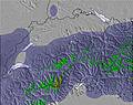
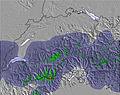
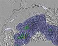
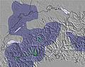
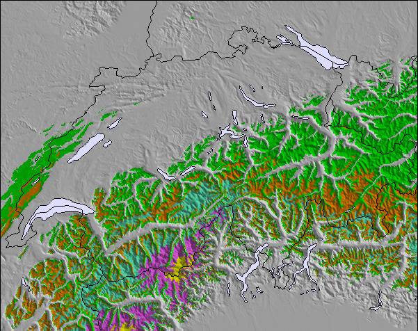
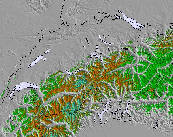
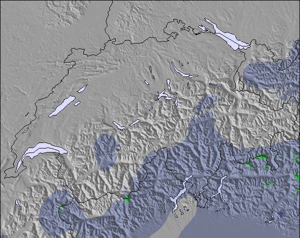
Mappa
neve
Snow map
Snow map
Snow map
Snow map
Snow map
Snow map
Snow map
Snow map
Snow map
Snow map
Snow map
Snow map
Snow map
Snow map
Snow map
Snow map
Snowflake cm
—
—
4
2
2
2
6
3
10
2
3
7
2
—
2
5
2
3
1
—
—
—
—
1
2
1
12
2
2
—
—
—
—
—
1
—
—
—
—
—
2
—
—
—
—
—
—
 mm
18
2
13
7
—
—
—
—
—
—
—
—
—
—
—
—
—
—
—
—
—
—
—
—
—
—
—
—
—
—
—
—
—
—
—
—
—
—
—
—
—
—
—
—
—
—
—
max °C
6
5
3
2
1
1
2
1
0
0
0
0
1
0
-2
1
1
0
0
0
-5
1
0
-2
-1
-1
-3
-2
-3
-8
-3
-5
-8
-6
-7
-14
-8
-9
-15
-7
-8
-14
-4
-7
-13
-3
-4
min °C
4
4
1
2
1
0
1
0
0
0
-1
-2
0
-4
-4
0
1
-1
0
-2
-9
-2
-4
-4
-1
-3
-4
-3
-7
-13
-7
-7
-14
-9
-12
-17
-11
-15
-16
-9
-11
-15
-8
-12
-14
-8
-7
 chill °C
4
2
-1
0
-2
0
-2
-3
-2
-2
-4
-4
-2
-7
-7
0
-1
-3
-2
-4
-12
-4
-7
-7
-1
-3
-4
-3
-7
-16
-7
-7
-14
-9
-12
-17
-11
-15
-16
-9
-11
-19
-8
-15
-14
-8
-10
Umido. %
98
89
98
98
99
86
99
99
99
98
99
99
98
94
69
98
100
99
96
94
87
75
88
85
96
98
97
95
94
90
79
91
90
89
93
93
87
92
90
86
95
88
81
95
73
63
76
Zero termico m
2750
2750
2050
1850
1800
1800
1750
1650
1500
1550
1550
1500
1550
1600
1300
1650
1750
1500
1500
1500
600
1300
1750
1050
1350
1400
1000
1100
1150
200
550
800
0
150
400
0
0
200
0
0
400
0
400
600
0
450
1050
Sea lvl1000m2000m3000m4000m5000m
-2-3-6-7-7-5-8-8-9-9-9-9-9-5-4-6-8-10-10-9-5-3-5-8-9-10-12-13-13-12-10-10-11-13-15-13-11-12-11-11-13-11-9-9-9-8-85522112100-1-11-2-311-10-1-7-1-2-3-1-2-4-3-5-11-5-6-11-8-10-16-10-12-16-8-10-15-6-10-14-6-6
Alba
7:33
—
—
7:35
—
—
7:35
—
—
7:37
—
—
7:39
—
—
7:39
—
—
7:41
—
—
7:43
—
—
7:43
—
—
7:46
—
—
7:47
—
—
7:48
—
—
7:48
—
—
7:50
—
—
7:52
—
—
7:52
—
Tramonto
—
4:55
—
—
4:54
—
—
4:53
—
—
4:52
—
—
4:52
—
—
4:51
—
—
4:50
—
—
4:50
—
—
4:49
—
—
4:47
—
—
4:47
—
—
4:46
—
—
4:46
—
—
4:45
—
—
4:45
—
—
4:45

Next 3 days weather summary:

Pioggia abbondante (totale 40.0mm) Martedì mattina. Diventa più freddo con una pesante nevicata, concentrandosi maggiormente durante Giovedì mattina. Condizioni di gelo e disgelo (max 6°C Martedì mattina, min 0°C Mercoledì notte). Vento sarà generalmente leggero.

Giorni 4-6 Crans Montana sommario meteo

Una pesante caduta di neve, più pesante durante Venerdì notte. Condizioni di gelo e disgelo (max 1°C Sabato mattina, min -4°C Sabato pomeriggio). Vento sarà generalmente leggero.

Giorni 7-9 Crans Montana sommario meteo

Una moderata caduta di neve, concentrandosi maggiormente Mercoledì notte. Condizioni di gelo e disgelo (max 1°C Martedì mattina, min -9°C Lunedì notte). Vento sarà generalmente leggero.

Giorni 10-12 Crans Montana sommario meteo

Una spolverata di neve nuova. Le temperature saranno sotto lo zero (max -2°C Giovedì mattina, min -17°C Sabato notte). Vento sarà generalmente leggero.

Giorni 13-16 Crans Montana sommario meteo

Una leggera copertura di neve nuova, che ancora cade Mercoledì notte. Le temperature saranno sotto lo zero (max 0°C Mercoledì notte, min -16°C Domenica notte). Vento sarà generalmente leggero.

Radar Neve

Invia un report Eyeball Reporter

Gli ultimi report della neve vicino a Crans Montana:

  • 44 km Assente da Crans Montana

    36 minutes fa
    Is it snowing?

    Snowing at a moderate rate on the slopes above Chatel. da Chatel

  • 14 km Assente da Crans Montana

    5 hours fa
    weather station observation

    Light rain reported from Sion at 339 metres elevation only 4 kms NNE of Haute Nendaz but it is forecast cold enough for snow at higher elevations in the ski area da Haute Nendaz

  • 14 km Assente da Crans Montana

    7 hours fa
    weather station observation

    Moderate rain reported from Sion at 339 metres elevation only 4 kms NNE of Haute Nendaz but it is forecast cold enough for snow at higher elevations in the ski area da Haute Nendaz

  • 12 km Assente da Crans Montana

    8 hours fa
    weather station observation

    Light rain reported from Sion at 339 metres elevation 5 kms WNW of Thyon-Printze but it is forecast cold enough for snow at higher elevations in the ski area da Thyon-Printze

Crans Montana Condizioni della neve

La profondità maggiore della neve é:0 cm
La profondità minore della neve é:0 cm
Fresh snowfall depth:8 cm
Quando ha nevicato l'ultima volta?16 Nov 2026
Altre località in Switzerland stanno segnalando: neve fresca (2) / buona pista (4)

Snow-Forecast Partner Offers

Storia della neve

Settimana 3 di November ha in media:

0.4
Giorni neve fresca
Neve fresca, prevalentemente soleggiato, vento debole.
0.6
Giorni neve fresca
Fresh snow, limited sun, any wind.
0.6
Giorni Bluebird
Neve media, prevalentemente soleggiato, vento debole.

Fotografie di Crans Montana

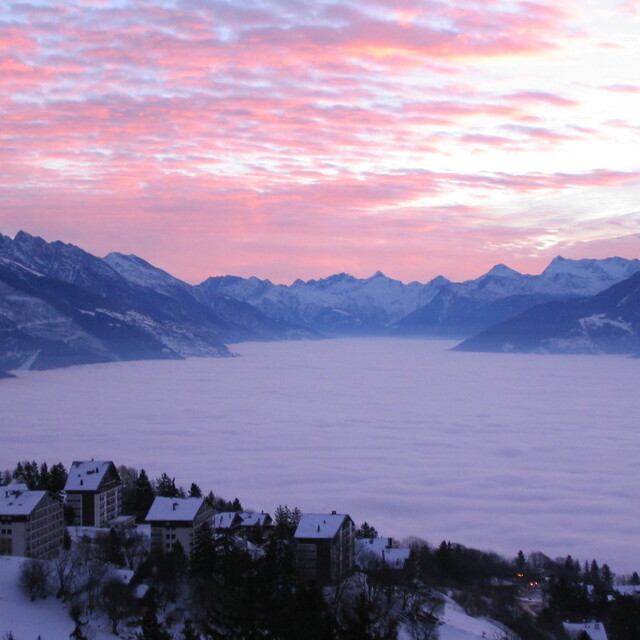
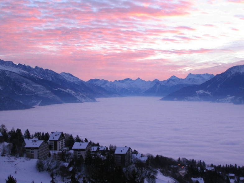
  • View of the Rhone Valley from Crans Montana

    View of the Rhone Valley from Crans Montana by lynn

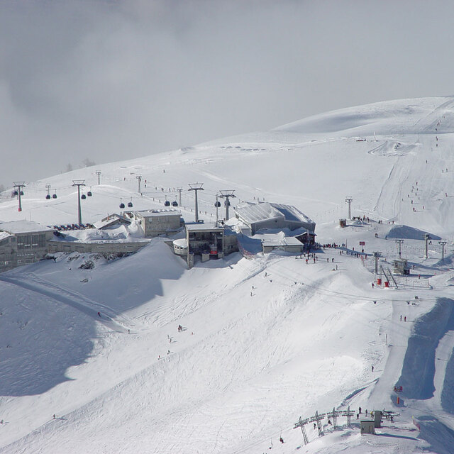
  • Crans Montana

    Crans Montana by Somnus

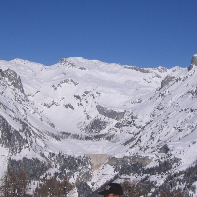
  • Crans Montana

    Crans Montana by lynn

Map placeholder
Altre località in Switzerland stanno segnalando: neve fresca (2) / buona pista (4)

La tabella sopra da le previsioni meteo per Crans Montana a specifiche altezze 1500 m. I nostri sofisticati modelli meteo ci consentono di fornire previsioni neve per la vetta, l'area intermedia e a valle delle stazioni sciistiche di Crans Montana. Per accedere alle previsioni meteo ad altre altezze, per spostarti usa tab sopra la tabella. Per una visione meteo piu' ampia , controlla la mappa meteo di Switzerland.

Clicca qui per leggere ulteriori informazioni sullo zero termico e il nostro sistema di prevedere le temperature.

Recensioni dei visitatori di Crans Montana

Complessivamente 3.9 Basato su 34 voti e 16 recensioni

  • Snowsure 3.8
  • Varietà di piste 4.3
  • Vota
  • Mark Betteridge da United Kingdom scrive:

    Some mixed reviews on this resort. I confess I have not actually been there myself but I am planning to go with my family at the end of February 2015 with Simon Butler Skiing. If any of you skied with Simon in Megeve you will know the high level of his professional standards for everything including accommodation, food and ski tuition. Frankly, he would not chose to offer another option in Crans-Montana if he didn't think it would tick all the boxes for his loyal clientele. I personally can't wait to go but I will post another review on my actual findings when I return.

Recensioni dei visitatori di Crans Montana

Complessivamente: 3.9 Basato su 34 voti e 16 recensioni

  • Snowsure
    3.8
  • Varietà di piste
    4.3
  • Fuoripista
    3.6
  • Paesaggio
    4.4
  • Apres-Ski
    3.8

Mark Betteridge da United Kingdom scrive:

Some mixed reviews on this resort.
I confess I have not actually been there myself but I am planning to go with my family at the end of February 2015 with Simon Butler Skiing. If any of you skied with Simon in Megeve you will know the high level of his professional standards for everything including accommodation, food and ski tuition. Frankly, he would not chose to offer another option in Crans-Montana if he didn't think it would tick all the boxes for his loyal clientele.
I personally can't wait to go but I will post another review on my actual findings when I return.

Leggi 15 più recensioni di Crans Montana o invia la tua

Gratis Snow-Forecast.com weather widget per il tho sito

Il Crans Montana widget meteo qui sotto è disponibile per essere incorporato su siti Web esterni a titolo gratuito. Esso fornisce un riepilogo giornaliero delle nostre Crans Montana previsioni meteo neve e dati meteo. Basta andare alla pagina di configurazione e seguire 3 semplici passi per prendere il codice html personalizzato ed incollarlo nel tuo sito. È possibile scegliere l'elevazione di previsione di neve (vetta, metà o piede della montagna) e l'unità metrica/imperiale per le previsioni meteo neve adeguata al proprio sito Web Clicca qui per ottenere il codice

View the full Crans Montana forecast at Snow-Forecast.com