


View forecast
Werfenweng at 1837 m altitudine
Publicato da Snow-Forecast.com a: 1 am (ora locale) / 19 Apr 2024
Now
Friday 19 | Saturday 20 | Sunday 21 | Monday 22 | Tuesday 23 | Wednesday 24 | Thursday 25 | |||||||||||||||
AM | PM | notte | AM | PM | notte | AM | PM | notte | AM | PM | notte | AM | PM | notte | AM | PM | notte | AM | PM | notte | |
nuvol- oso | nevi cata leggera | forte nevicata | nevi cata leggera | nevi cata leggera | nevi cata mod. | nevi cata leggera | nevi cata leggera | nevi cata leggera | nevi cata leggera | nevi cata leggera | rovescio di neve | poche nuvole | nevi cata leggera | nevi cata leggera | nevi cata leggera | nevi cata leggera | nevi cata leggera | limpido | poche nuvole | nevi cata leggera | |
km/h | |||||||||||||||||||||
Snow map |  |  |  |  |  |  |  | ||||||||||||||
cm | — | — | 13 | 1.0 | 4 | 8 | 1.0 | 1.0 | — | — | 1.0 | — | — | 2.0 | 4 | 2.0 | 1.0 | — | — | — | 1.0 |
mm | — | — | — | — | — | — | — | — | — | — | — | — | — | — | — | — | — | — | — | — | — |
max°C | -4 | -3 | -3 | -5 | -5 | -6 | -7 | -6 | -7 | -7 | -5 | -5 | -4 | -3 | -4 | -5 | -4 | -4 | -3 | 0 | 0 |
min°C | -7 | -3 | -5 | -6 | -6 | -8 | -9 | -7 | -8 | -8 | -5 | -7 | -7 | -3 | -5 | -5 | -4 | -6 | -6 | -1 | -3 |
chill°C | -11 | -6 | -11 | -12 | -12 | -13 | -14 | -13 | -12 | -11 | -5 | -10 | -10 | -3 | -10 | -10 | -9 | -9 | -9 | -1 | -3 |
Umido.% | 69 | 86 | 99 | 85 | 95 | 99 | 82 | 80 | 88 | 71 | 77 | 89 | 75 | 97 | 98 | 91 | 86 | 75 | 59 | 71 | 99 |
Zero termico (m) | 1300 | 1400 | 1200 | 1150 | 1050 | 400 | 850 | 1000 | 0 | 850 | 1150 | 0 | 1300 | 1350 | 1200 | 1100 | 1300 | 700 | 1450 | 1900 | 1350 |
6:09 | — | — | 6:07 | — | — | 6:05 | — | — | 6:05 | — | — | 6:03 | — | — | 6:01 | — | — | 5:58 | — | — | |
— | — | 8:01 | — | — | 8:02 | — | — | 8:05 | — | — | 8:06 | — | — | 8:07 | — | — | 8:08 | — | — | 8:09 | |
Prossimi 0-3 giorni riassunto meteo
Una pesante caduta di neve, più pesante durante Venerdì notte. Le temperature saranno sotto lo zero (max -3°C Venerdì pomeriggio, min -9°C Domenica mattina). Vento sarà generalmente leggero.
Prossimi 4-6 giorni riassunto meteo
Una moderata caduta di neve, concentrandosi maggiormente Martedì pomeriggio. Le temperature saranno sotto lo zero (max -3°C Martedì pomeriggio, min -8°C Lunedì mattina). Vento sarà generalmente leggero.
Popular Werfenweng Pages
Radar Neve
Invia un reportGli ultimi report della neve vicino a Werfenweng:
34 km Assente da Werfenweng
1 hour fa
Rain reported from Obertauern (automatic) at 1742 metres elevation one km N of Obertauern but it is forecast cold enough for snow at the ski area da Obertauern
39 km Assente da Werfenweng
1 hour faRain reported from Schmittenhoehe (automatic) at 1954 metres elevation only 4 kms W of Zell am See but it is forecast cold enough for snow at higher elevations in the ski area da Zell am See
14 km Assente da Werfenweng
2 hour faRain reported from Bischofshofen at 550 metres elevation 6 kms N of St Johann-Alpendorf but it is forecast cold enough for snow at the ski area da St Johann-Alpendorf
Werfenweng Condizioni della neve
| La profondità maggiore della neve é: | 0 cm |
|---|---|
| La profondità minore della neve é: | 0 cm |
| Fresh snowfall depth: | 16 cm |
| Quando ha nevicato l'ultima volta? | 18 Apr 2024 |
Altre località in Austria stanno segnalando: neve fresca (4) / buona pista (4)
Snow-Forecast Partner Offers
Show your business here
Storia della neve
Settimana 3 di April ha in media:
0.1 | Giorni neve fresca Neve fresca, prevalentemente soleggiato, vento debole. |
|---|---|
1.3 | Giorni neve fresca Fresh snow, limited sun, any wind. |
0.1 | Giorni Bluebird Neve media, prevalentemente soleggiato, vento debole. |


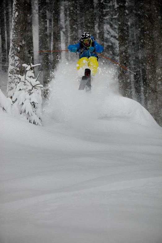
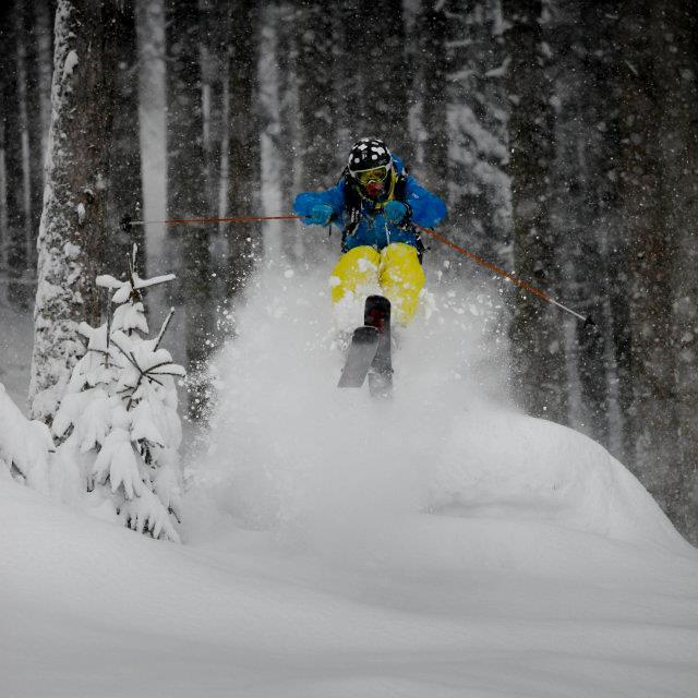
Fotografie di Werfenweng
Altre località in Austria stanno segnalando: neve fresca (4) / buona pista (4)
La tabella sopra da le previsioni meteo per Werfenweng a specifiche altezze 1837 m. I nostri sofisticati modelli meteo ci consentono di fornire previsioni neve per la vetta, l'area intermedia e a valle delle stazioni sciistiche di Werfenweng. Per accedere alle previsioni meteo ad altre altezze, per spostarti usa tab sopra la tabella. Per una visione meteo piu' ampia , controlla la mappa meteo di Austria.
Clicca qui per leggere ulteriori informazioni sullo zero termico e il nostro sistema di prevedere le temperature.
Recensioni dei visitatori di Werfenweng
Complessivamente 4.0 Basato su 4 voti.
- Snowsure
- Varietà di piste
- Vota
Gratis Snow-Forecast.com weather widget per il tho sito
Il Werfenweng widget meteo qui sotto è disponibile per essere incorporato su siti Web esterni a titolo gratuito. Esso fornisce un riepilogo giornaliero delle nostre Werfenweng previsioni meteo neve e dati meteo. Basta andare alla pagina di configurazione e seguire 3 semplici passi per prendere il codice html personalizzato ed incollarlo nel tuo sito. È possibile scegliere l'elevazione di previsione di neve (vetta, metà o piede della montagna) e l'unità metrica/imperiale per le previsioni meteo neve adeguata al proprio sito Web Clicca qui per ottenere il codice
Guarda previsioni meteo neve dettagliate per Werfenweng a:
snow-forecast.com

 Nearest