


View forecast
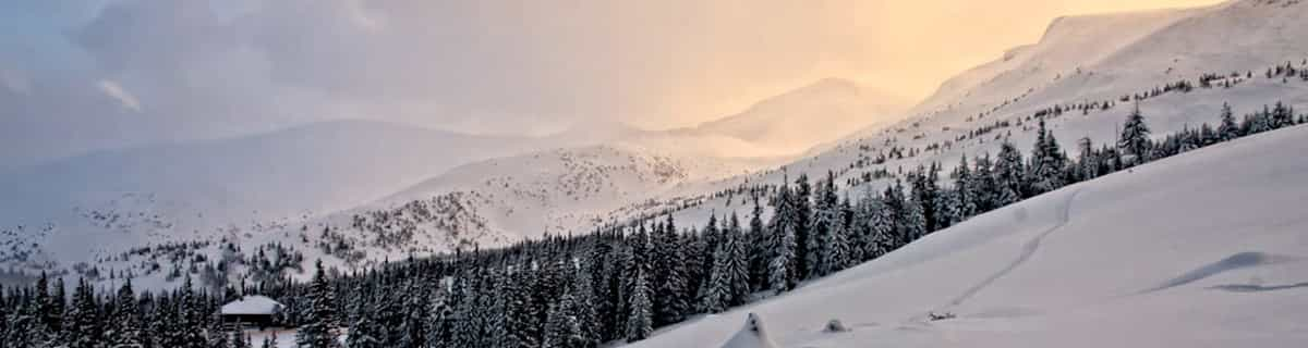
Lauchernalp - Lötschental at 3111 m altitudine
Publicato da Snow-Forecast.com a: 7 pm (ora locale) / 19 Apr 2024
Now
Saturday 20 | Sunday 21 | Monday 22 | Tuesday 23 | Wednesday 24 | Thursday 25 | ||||||||||||||
notte | AM | PM | notte | AM | PM | notte | AM | PM | notte | AM | PM | notte | AM | PM | notte | AM | PM | notte | |
forte nevicata | nevi cata leggera | nevi cata leggera | nevi cata leggera | nevi cata leggera | nevi cata leggera | nevi cata leggera | nevi cata leggera | nevi cata leggera | rovescio di neve | poche nuvole | nevi cata leggera | nevi cata leggera | nuvol- oso | nevi cata leggera | nevi cata leggera | nuvol- oso | nevi cata leggera | nevi cata leggera | |
km/h | |||||||||||||||||||
Snow map |  |  |  |  |  |  |  | ||||||||||||
cm | 23 | 1.0 | 1.0 | 1.0 | 1.0 | 4 | 2.0 | — | 3 | 1.0 | — | 1.0 | 1.0 | — | — | — | — | 1.0 | 2.0 |
mm | — | — | — | — | — | — | — | — | — | — | — | — | — | — | — | — | — | — | — |
max°C | -9 | -15 | -14 | -14 | -15 | -15 | -14 | -14 | -13 | -14 | -15 | -14 | -14 | -13 | -12 | -10 | -9 | -9 | -9 |
min°C | -13 | -15 | -15 | -15 | -16 | -15 | -15 | -14 | -13 | -14 | -15 | -14 | -14 | -14 | -12 | -11 | -10 | -9 | -10 |
chill°C | -22 | -23 | -22 | -22 | -24 | -20 | -21 | -14 | -13 | -18 | -21 | -19 | -20 | -21 | -17 | -16 | -14 | -14 | -15 |
Umido.% | 94 | 88 | 94 | 90 | 90 | 93 | 67 | 93 | 95 | 71 | 96 | 94 | 77 | 51 | 90 | 75 | 75 | 95 | 94 |
Zero termico (m) | 1400 | 1150 | 1300 | 350 | 1050 | 1100 | 500 | 1200 | 1350 | 250 | 1050 | 1350 | 450 | 1200 | 1600 | 950 | 1700 | 1950 | 1500 |
— | 6:31 | — | — | 6:30 | — | — | 6:28 | — | — | 6:26 | — | — | 6:24 | — | — | 6:22 | — | — | |
— | — | — | 8:22 | — | — | 8:23 | — | — | 8:25 | — | — | 8:27 | — | — | 8:28 | — | — | 8:30 | |
Prossimi 0-3 giorni riassunto meteo
Una pesante caduta di neve, più pesante durante Venerdì notte. Le temperature saranno sotto lo zero (max -9°C Venerdì notte, min -16°C Domenica mattina). Vento sarà generalmente leggero.
Prossimi 4-6 giorni riassunto meteo
Una spolverata di neve nuova. Le temperature saranno sotto lo zero (max -9°C Giovedì mattina, min -15°C Martedì mattina). Vento sarà generalmente leggero.
Popular Lauchernalp - Lötschental Pages
Radar Neve
Invia un reportGli ultimi report della neve vicino a Lauchernalp - Lötschental:
35 km Assente da Lauchernalp - Lötschental
2 hour fa
Snowing at Saas Fee. da Saas Fee
16 km Assente da Lauchernalp - Lötschental
2 hour fa
Continuous light snow reported from Jungfrau Mountain at 3576 metres elevation 7 kms E of Mürren but it is probably falling as rain at the bottom of the ski area da Mürren
35 km Assente da Lauchernalp - Lötschental
2 hour faIntermittent moderate snow reported from Ulrichen at 1706 metres elevation only 3 kms NE of Münster - Geschinen - Goms Ski Resort da Münster - Geschinen - Goms
45 km Assente da Lauchernalp - Lötschental
2 hour faLight rain reported from Sion at 339 metres elevation only 2 kms NW of Veysonnaz-Printse but it is forecast cold enough for snow at the ski area da Veysonnaz-Printse
22 km Assente da Lauchernalp - Lötschental
11 hour fa
Snowfall continues with a heavy fall expected over night into Saturday. da Wengen
Lauchernalp - Lötschental Condizioni della neve
| La profondità maggiore della neve é: | 0 cm |
|---|---|
| La profondità minore della neve é: | 0 cm |
| Fresh snowfall depth: | 25 cm |
| Quando ha nevicato l'ultima volta? | 18 Apr 2024 |
Altre località in Switzerland stanno segnalando: neve fresca (11) / buona pista (10)
Snow-Forecast Partner Offers
Show your business here
Storia della neve
Settimana 3 di April ha in media:
0.9 | Giorni neve fresca Neve fresca, prevalentemente soleggiato, vento debole. |
|---|---|
3.6 | Giorni neve fresca Fresh snow, limited sun, any wind. |
1.0 | Giorni Bluebird Neve media, prevalentemente soleggiato, vento debole. |


Altre località in Switzerland stanno segnalando: neve fresca (11) / buona pista (10)
La tabella sopra da le previsioni meteo per Lauchernalp - Lötschental a specifiche altezze 3111 m. I nostri sofisticati modelli meteo ci consentono di fornire previsioni neve per la vetta, l'area intermedia e a valle delle stazioni sciistiche di Lauchernalp - Lötschental. Per accedere alle previsioni meteo ad altre altezze, per spostarti usa tab sopra la tabella. Per una visione meteo piu' ampia , controlla la mappa meteo di Switzerland.
Clicca qui per leggere ulteriori informazioni sullo zero termico e il nostro sistema di prevedere le temperature.
Il nome della localita' è scritto anche come Lauchernalp - Lotschental.
Recensioni dei visitatori di Lauchernalp - Lötschental
Complessivamente 4.0 Basato su 10 voti e 2 recensioni
- Snowsure
- Varietà di piste
- Vota
- Zach da United States scrive:
A friend and I were planning on skiing Kandersteg one day coming down from Interlaken. However, as the train wound its way through the mountains and arrived at Kandersteg, no one got off. So, in a moment's decision, we decided to follow the crowd. In this case, following the crowd was a good decision. Everyone seemed to get off at one station and immediately started loading buses, so we followed everyone off the train and onto the buses. It turned out to be the best decision we made that trip. The mountain at Lauchernalp - Lötschental was amazing, the village was picturesque, and the sun shone all day. We spent a lot of time in the off-piste on the far skier's left side of the mountain. It was an amazing experience and some apres-ski Bier und Goulasch Suppe was a great way to end the day. We went in mid March and the weather was perfectly sunny all day, the temperature at the base hovering around 0 C. Go. It's wonderful.
Recensioni dei visitatori di Lauchernalp - Lötschental
Zach da United States scrive:
A friend and I were planning on skiing Kandersteg one day coming down from Interlaken. However, as the train wound its way through the mountains and arrived at Kandersteg, no one got off. So, in a moment's decision, we decided to follow the crowd. In this case, following the crowd was a good decision. Everyone seemed to get off at one station and immediately started loading buses, so we followed everyone off the train and onto the buses. It turned out to be the best decision we made that trip. The mountain at Lauchernalp - Lötschental was amazing, the village was picturesque, and the sun shone all day. We spent a lot of time in the off-piste on the far skier's left side of the mountain. It was an amazing experience and some apres-ski Bier und Goulasch Suppe was a great way to end the day. We went in mid March and the weather was perfectly sunny all day, the temperature at the base hovering around 0 C. Go. It's wonderful.
Leggi 1 più recensioni di Lauchernalp - Lötschental o invia la tua
Gratis Snow-Forecast.com weather widget per il tho sito
Il Lauchernalp - Lötschental widget meteo qui sotto è disponibile per essere incorporato su siti Web esterni a titolo gratuito. Esso fornisce un riepilogo giornaliero delle nostre Lauchernalp - Lötschental previsioni meteo neve e dati meteo. Basta andare alla pagina di configurazione e seguire 3 semplici passi per prendere il codice html personalizzato ed incollarlo nel tuo sito. È possibile scegliere l'elevazione di previsione di neve (vetta, metà o piede della montagna) e l'unità metrica/imperiale per le previsioni meteo neve adeguata al proprio sito Web Clicca qui per ottenere il codice
Guarda previsioni meteo neve dettagliate per Lauchernalp - Lötschental a:
snow-forecast.com

 Nearest